Empower your decision-making with our comprehensive spatial data and analysis technology.
Empower your decision-making with our comprehensive spatial data and analysis technology.

Resilience Insights surface critical signal at the intersection of urban, climate, and community factors that affect risk and market behavior.
With Resilience Insights, energy utilities, financial institutions, government agencies, and private corporations are empowered with the data and software needed to drive improved decision making and investment prioritization in the face of increasing climate threats, community vulnerability, and regulatory complexity.
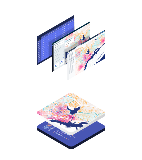
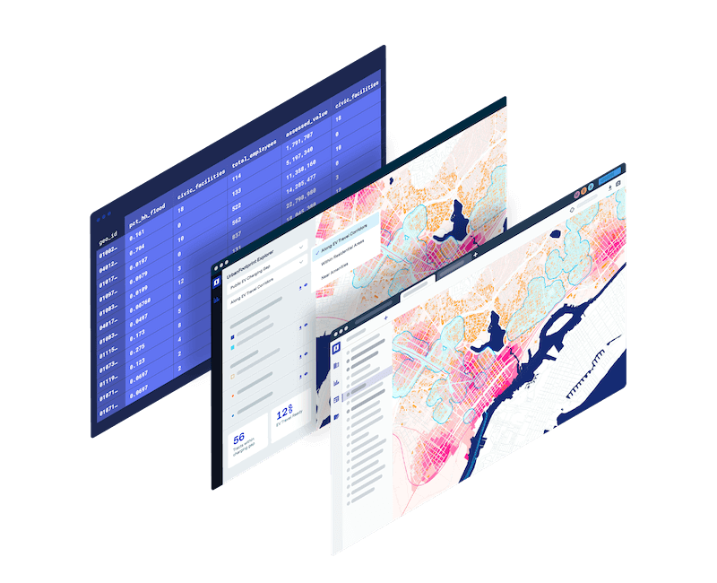
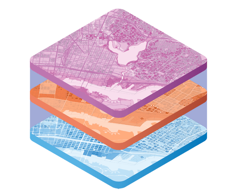
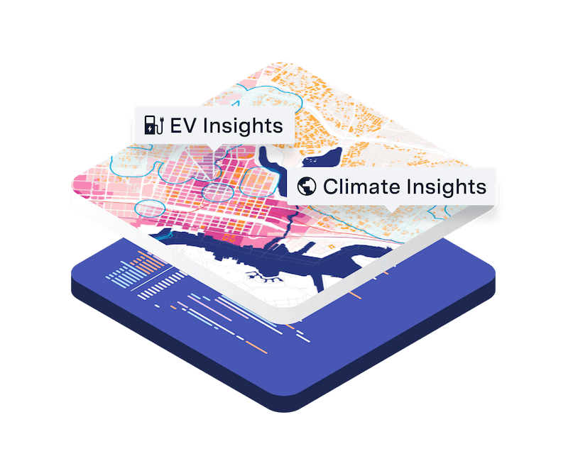
The only platform built with the comprehensive tooling and data components required to construct and deliver Resilience Insights – actionable data packages and powerful technology purpose-built to answer the world’s toughest questions
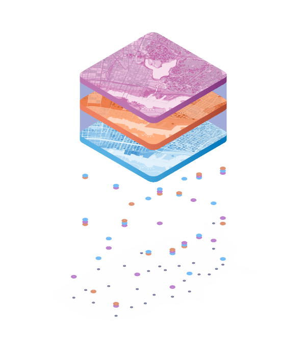
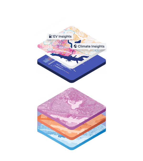
The only platform built with the comprehensive tooling and data components required to construct and deliver Resilience Insights – actionable data packages and powerful technology purpose-built to answer the world’s toughest questions

Navigate hazard risk and build resilience with a comprehensive and up-to-date view of climate, community, and market dynamics

Inform urgent energy grid investments, EV deployment, regulatory compliance, and sustainability initiatives

Leverage climate, market, and community data to navigate disclosure requirements and understand climate and community risks and opportunities

Map and measure community vulnerability and eligibility for federal and state assistance and disaster relief
"UrbanFootprint gives us a huge data intelligence advantage that all members of our team can understand. Instead of the really verbose, expensive asset-health models that are out there, UrbanFootprint is the perfect first step to get you moving quickly toward building grid resilience."
“With UrbanFootprint we quickly identified 5 major service gaps in our community based on food insufficiency block-group data, prioritized those hard-to-reach populations, and through the points of interest found potential outreach partners to fill those service gaps.”
“The ability to integrate climate and community vulnerability data helps to ensure that we are prepared to manage risk from these growing threats. We look forward to communicating the benefits of UrbanFootprint to the many municipal bond professionals we work with every day.”