UrbanFootprint
Login
Request Demo
  • Solutions
        • Resilience Insights

          Power decision making with curated data and models assembled and intersected to surface insight

        • INSIGHT TYPES

        • Infrastructure & MobilityPhysical infrastructure, modernization, and the transition to electric vehicles
        • Public Service & AdministrationCommunity assistance, resource distribution, and program management
        • –

        • Climate Risk & SustainabilityClimate change, exposure to hazards, and impact analysis
        • Capital Markets & ESGInvestment evaluation, portfolio management, and ESG compliance
  • Technology
        • Our Technology

          The UrbanFootprint platform curates components of our Data Foundations to build Resilience Insights and deliver them through one or more Data Experience

        • DATA FOUNDATIONS

        • Built EnvironmentLand use, buildings, transportation, and infrastructure detail
        • People & VulnerabilitiesCommunity and household characteristics with modeled need
        • Climate & HazardsCurrent and future hazard risks plus land and assets impacted
        • DATA EXPERIENCES

        • AnalystCloud-based GIS mapping and analytics application
        • ExplorerCloud-based map visualization and dashboard application
        • Direct DataFlexible data integration and feeds to customer systems
  • Resources
        • RESOURCE TYPE

        • Case Studies
        • Solution Overviews, eBooks, and Whitepapers
        • LEARN MORE

        • Community Resilience
        • Climate Resilience
        • ESG
        • Social Equity
        • TECHNICAL SUPPORT

        • Product Documentation
        • Contact Us
  • Blog
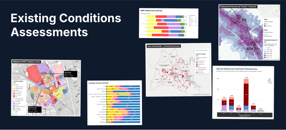
        • Existing Conditions Assessments Key
          Power Your Next Project with the UrbanFootprint Existing Conditions Dashboard
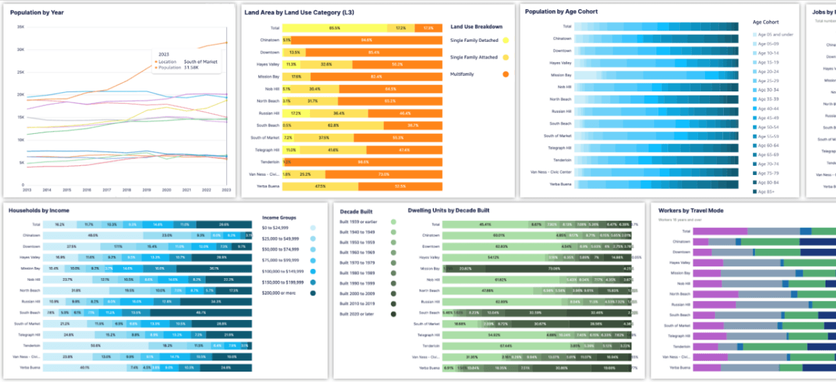
          Existing Conditions Dashboard Charts Key Image
          Launch Faster with UrbanFootprint’s New Existing Conditions Dashboard
          Eaton Fire Area And Special Wind Regions In Southern California
          Spotlight on Wildfire Risk – How Wind, Weather, and Wildland Development are Fueling Extreme Events
          Sample view of updated transit data in San Francisco
          Fresh Data from UrbanFootprint
          Commercial Property Impacts in Altadena
          Impacts of the LA Fires: Setting the Context for Recovery
          SB6-SanJose@1200w
          Unlock the Powers of Unified Parcel Data with UrbanFootprint
        • View all blog posts
  • About
        • AboutLearn about our story and our mission statement.
        • Learn more

        • LeadershipMeet the faces behind the UrbanFootprint team.
        • Learn more

        • In the NewsNews and writings, press releases, and resources.
        • Learn more

        • CareersWe’re always looking for talented people. Join us!
        • Learn more

  • Login
    • Analyst  ↗
    • Explorer ↗
  • Contact Us
Resilience Insights for where to

Empower your decision-making with our comprehensive spatial data and analysis technology.

Book a Demo
Home Bg Mobile Animation Loop 6 Second
TRUSTED BY
white WSP logo
white aclima logo
white RMI logo
white HDR logo
white DLC logo
white DCFS logo
white cdfa logo
white assured guaranty logo
Logo Secondharvest
Logo Caloes
Logo Aecom
Home Static Venn
Resilience Insights

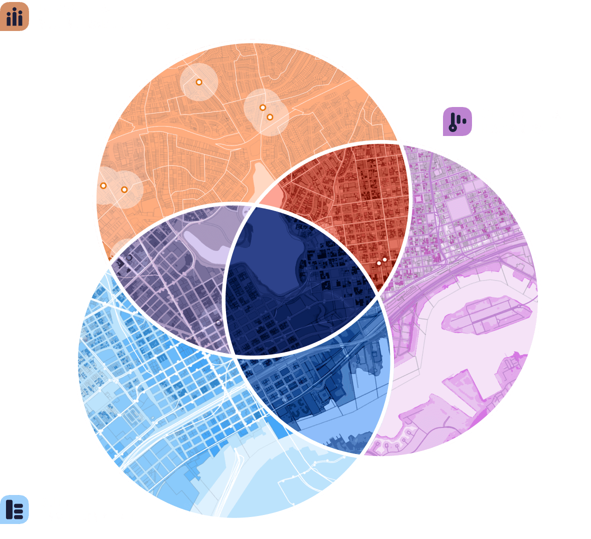
Find your answer at the intersection

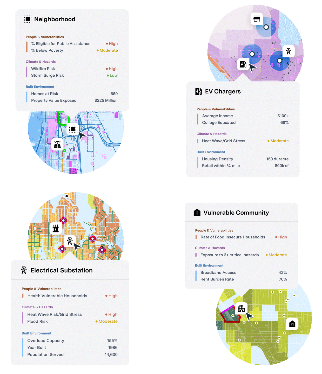
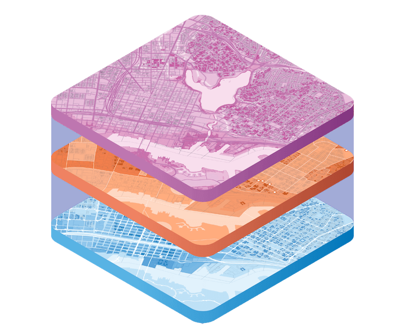
Resilience Insights surface critical signal at the intersection of urban, climate, and community factors that affect risk and market behavior.

With Resilience Insights, energy utilities, financial institutions, government agencies, and private corporations are empowered with the data and software needed to drive improved decision making and investment prioritization in the face of increasing climate threats, community vulnerability, and regulatory complexity.

THE URBANFOOTPRINT PLATFORM

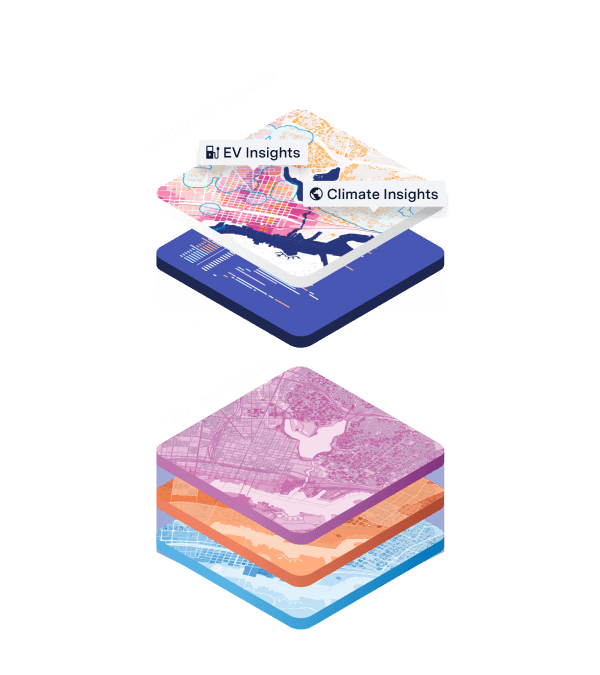
The only platform built with the comprehensive tooling and data components required to construct and deliver Resilience Insights – actionable data packages and powerful technology purpose-built to answer the world’s toughest questions

The Insight Engine

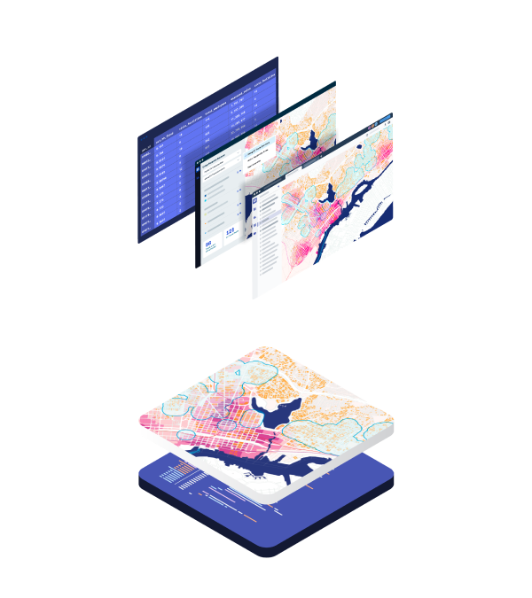
The Insight Engine curates 1,000s of siloed datasets into one comprehensive geospatial data core covering the entire United States – aligning, normalizing, and organizing climate, community, and urban information into three Data Foundations:
Climate & hazards

Current and future hazard risks plus the land and assets impacted

People & Vulnerabilities

Community and household characteristics plus modeled vulnerability and need

Built Environment

Land use, buildings, transportation, and infrastructure across 160 million land parcels

Resilience Insights

Resilience Insights intersect specifically curated data metrics and models from the Data Foundations to drive more effective investment prioritization, quantified risk and vulnerability assessments, and optimized site selection and infrastructure investments

Delivery

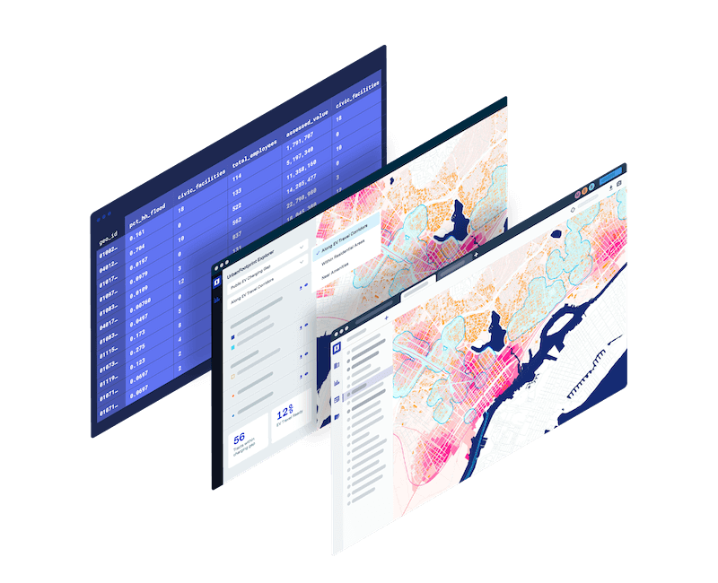
Data insights and analysis are delivered through cutting-edge software and data feeds
ANALYST

Cloud-based GIS mapping and analytics application

Explorer

Cloud-based map visualization and dashboard application

Direct Data delivery

Flexible data integration and feeds to customer systems

THE URBANFOOTPRINT PLATFORM

The only platform built with the comprehensive tooling and data components required to construct and deliver Resilience Insights – actionable data packages and powerful technology purpose-built to answer the world’s toughest questions

The Insight Engine

The Insight Engine curates 1,000s of siloed datasets into one comprehensive geospatial data core covering the entire United States – aligning, normalizing, and organizing climate, community, and urban information into three Data Foundations:
Climate & Hazards

Current and future hazard risks plus the land and assets impacted

People & Vulnerabilities

Community and household characteristics plus modeled vulnerability and need

Built Environment

Land use, buildings, transportation, and infrastructure across 160 million land parcels

Resilience Insights

Resilience Insights intersect specifically curated data metrics and models from the Data Foundations to drive more effective investment prioritization, quantified risk and vulnerability assessments, and optimized site selection and infrastructure investments

Delivery

Data insights and analysis are delivered through cutting-edge software and data feeds
ANALYST

Cloud-based GIS mapping and analytics application

Explorer

Cloud-based map visualization and dashboard application

Direct Data Delivery

Flexible data integration and feeds to customer systems

Solutions

Empower decision making with actionable insight across industries and use cases

Thumbnail Climate
Menu Icon Climaterisk

Climate Risk & Sustainability

Navigate hazard risk and build resilience with a comprehensive and up-to-date view of climate, community, and market dynamics

Learn More

Thumnail Infrastructure
Menu Icon Infrastructureandmobility

Infrastructure & Mobility

Inform urgent energy grid investments, EV deployment, regulatory compliance, and sustainability initiatives

Learn More

Thumbnail Captialmarkets
Menu Icon Capitalmarkets

Capital Markets & ESG

Leverage climate, market, and community data to navigate disclosure requirements and understand climate and community risks and opportunities

Learn More

Thumbanil Publicservice
Menu Icon Publicservice

Public Service & Administration

Map and measure community vulnerability and eligibility for federal and state assistance and disaster relief

Learn More

"UrbanFootprint gives us a huge data intelligence advantage that all members of our team can understand. Instead of the really verbose, expensive asset-health models that are out there, UrbanFootprint is the perfect first step to get you moving quickly toward building grid resilience."

— Elizabeth Cook General Manager of Advanced Grid Solutions, Duquesne Light Company

“With UrbanFootprint we quickly identified 5 major service gaps in our community based on food insufficiency block-group data, prioritized those hard-to-reach populations, and through the points of interest found potential outreach partners to fill those service gaps.”

― Tara Sweeney Project Coordinator, Fresno Metro Ministry

“The ability to integrate climate and community vulnerability data helps to ensure that we are prepared to manage risk from these growing threats. We look forward to communicating the benefits of UrbanFootprint to the many municipal bond professionals we work with every day.”

― Dominic Frederico President and CEO, Assured Guaranty

Check out our latest findings

Existing Conditions Assessments Key
Blog Post
Product Update
Scenario Planning
Sustainable Cities
Urban Planning
Power Your Next Project with the UrbanFootprint Existing Conditions Dashboard
Existing Conditions Dashboard Charts Key Image
Blog Post
Product Update
Scenario Planning
Sustainable Cities
Transportation
Urban Planning
Launch Faster with UrbanFootprint’s New Existing Conditions Dashboard
Eaton Fire Area And Special Wind Regions In Southern California
Blog Post
Climate Risk & Sustainability
Sustainable Cities
Urban Planning
Spotlight on Wildfire Risk – How Wind, Weather, and Wildland Development are Fueling Extreme Events
In The News

For media inquiries – please contact us at press@urbanfootprint.com

Logo Cnbc
Logo Fast Company
Logo Cnn
Logo Forbes
See all
Tweet
Share
Share

Never wonder where

UrbanFootprint logo
Contact Us
    • SOLUTIONS
    • Climate Risk & Sustainability
    • Infrastructure & Mobility
    • Public Service & Administration
    • Capital Markets & ESG
    • FOUNDATIONS
    • Built Environment
    • People & Vulnerabilities
    • Climate & Hazards
    • EXPERIENCES
    • Analyst
    • Explorer
    • Direct Data Delivery
    • RESOURCES
    • Case Studies
    • ESG
    • Community Resilience
    • Climate Resilience
    • Technical Support
    • ABOUT
    • Careers
    • Leadership
    • In the News
    • Contact Us
©2025 All rights reserved.

  • Terms & Conditions
  • Privacy Policy