- Solutions
-
-
Resilience Insights
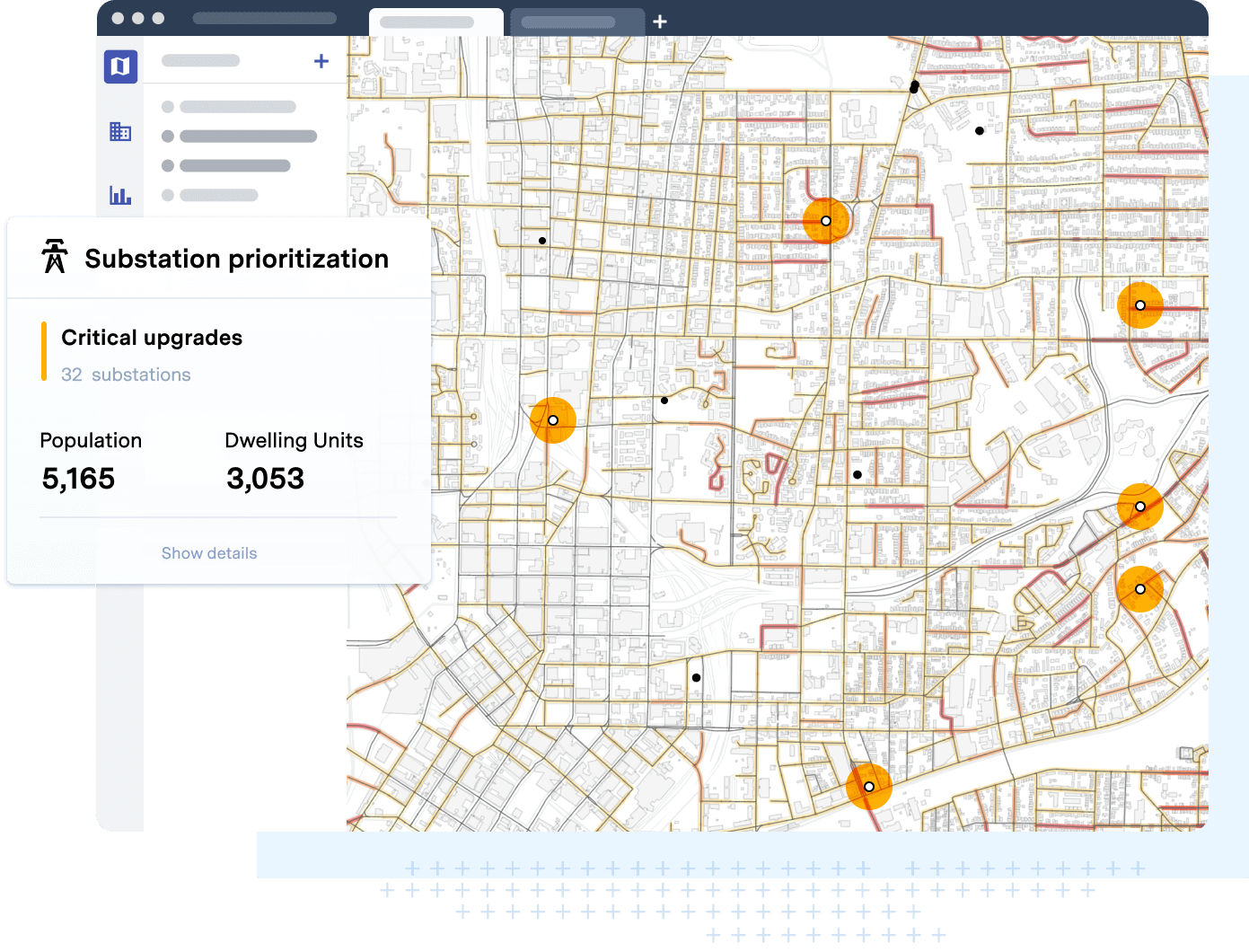
Power decision making with curated data and models assembled and intersected to surface insight
-
-
- Technology
-
-
Our Technology
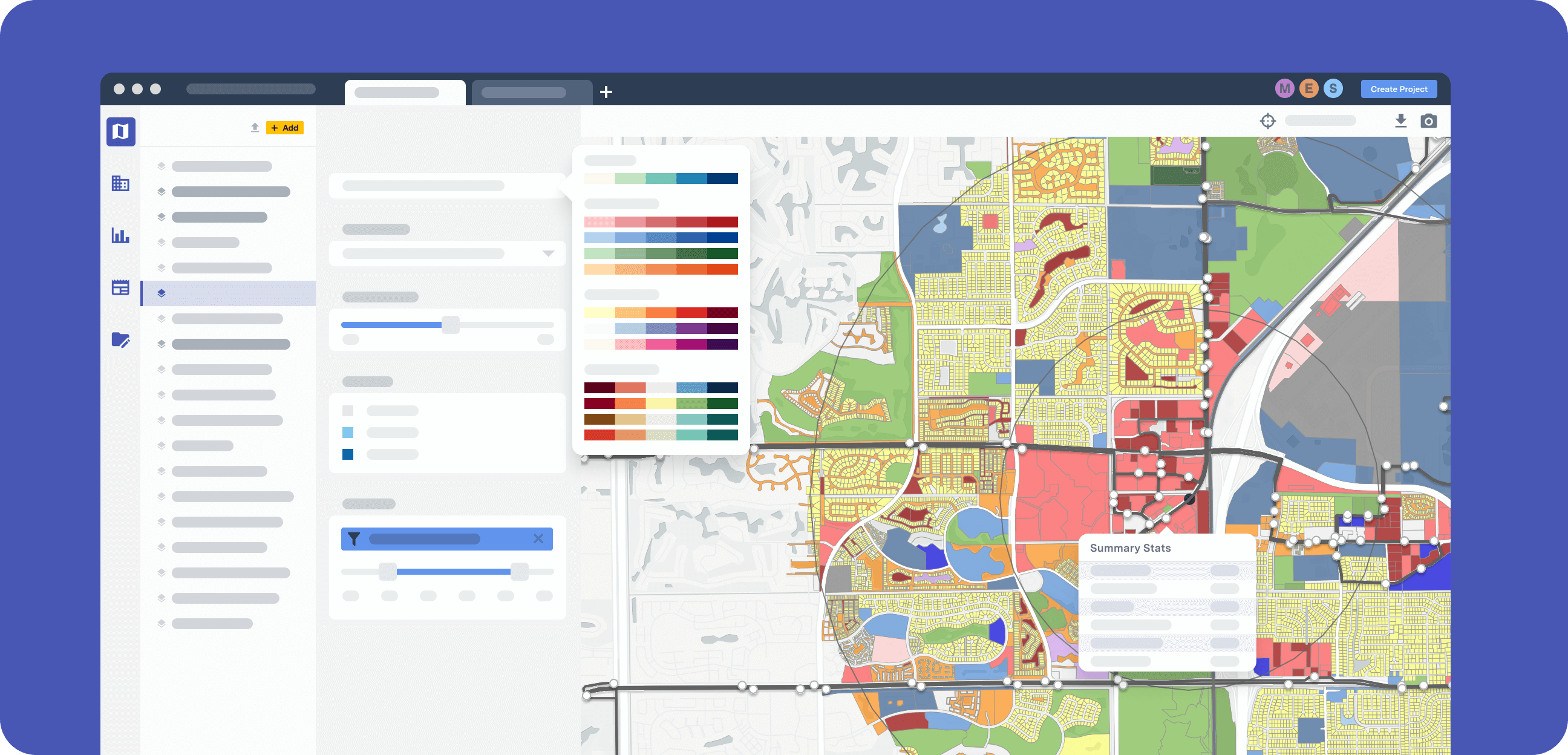
The UrbanFootprint platform curates components of our Data Foundations to build Resilience Insights and deliver them through one or more Data Experience
-
-
- Resources
-
-
-
RESOURCE TYPE
- Case Studies
- Solution Overviews, eBooks, and Whitepapers
-
-
-
TECHNICAL SUPPORT
- Product Documentation
- Contact Us
-
-
-
- Blog
-
- About
- Login
- Contact Us
