Login
Request Demo
  • Platform
    • Analyze geospatial data with powerful mapping capabilities
    • Make quick, informed decisions from curated datasets
    • Get direct insights served from our applications or yours
  • Solutions
        • Governments & CBOs
          • Food Security Insights
          • Eviction Risk Insights
          • Foreclosure Risk Insights
          • Recovery Insights
          • Energy & Utilities
          • Grid Resilience Insights
          • Electric Vehicle Insights
        • Real Estate
          • Urban Planning
          • Proposals
          • Existing Conditions
          • Base Canvas Essentials
          • Real Estate &
            Location Analytics
          • Finance
  • Pricing
  • About
    • We're Hiring!
    • Leadership
    • Contact Us
    • In the News
  • Resources
    • Resource Center
    • Technical Support
    • Case Studies
    • ESG
    • Community Resilience
    • Climate Resilience
  • Blog
  • Login
    • Analyst  ↗
    • Explorer ↗
  • Contact Us

New partnership

UrbanFootprint and ICLEI USA bridge the gap between community sustainability and land use planning

UrbanFootprint and ICLEI’s partnership brings extra support to local governments striving to address the challenges of climate change with the creation of smart climate action plans.

CONTACT US

Get the tools you need to take action on climate change.

As local governments prepare to address the challenges of climate change, our partnership with ICLEI USA aims to give planners and sustainability managers the resources they need to create data-driven climate action plans.

New UrbanFootprint Civic customers will get access to a free, one-year membership to ICLEI, and current ICLEI members will receive a discount to purchase UrbanFootprint’s planning and analysis software. 

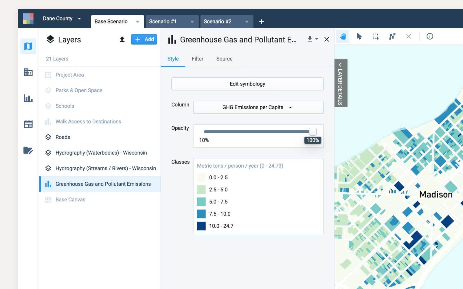
View of the UrbanFootprint interface showing emissions data

Build smart climate action plans with UrbanFootprint and ICLEI USA.

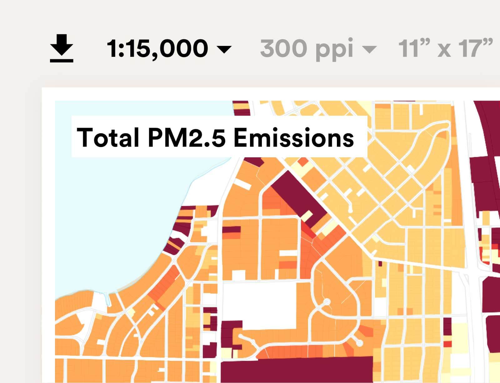
Map showing PM2.5 Emissions in Madison, WI

Enhance your emissions analyses

Learn how the future alignment of Clear Path and UrbanFootprint will help users create advanced emissions analyses for current and future land use scenarios to power smart climate action plans.

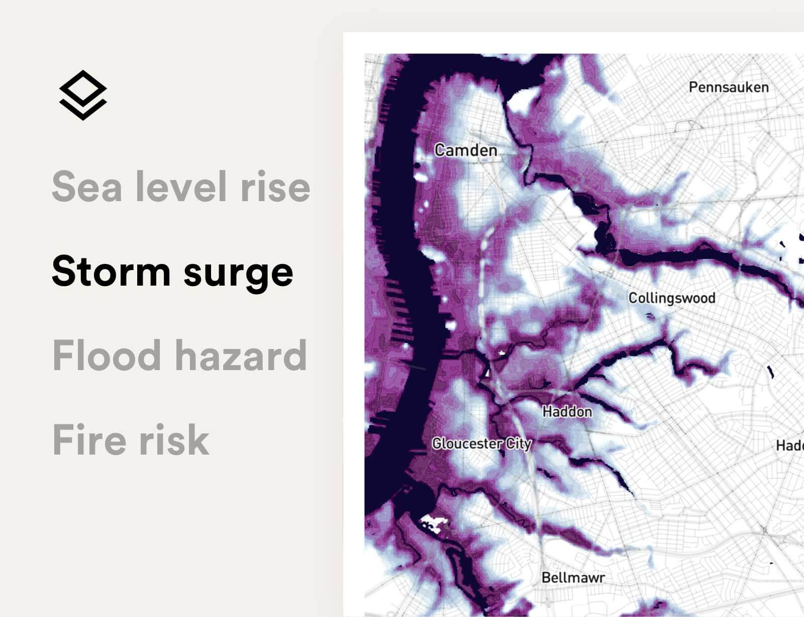
Map showing storm surge in Philadelphia

Quickly assess risk and resilience

Evaluate your community’s current and future resilience to natural hazards exacerbated by climate change, including sea level rise, fires, floods, liquefaction, and more.

Support environmental justice

Learn how to effectively incorporate equity for disadvantaged communities into your climate action planning process.

Ready to learn more about the UrbanFootprint and ICLEI USA partnership?

Contact us to get the details.

Already a customer?  Log in

Tweet
Share
Share
    • Platform
    • Analyst
    • Explorer
    • Data Subscriptions
    • Industries
    • Governments & CBOs
    • Energy & Utilities
    • Urban Planning
    • Real Estate & Location Analytics
    • Finance
    • Solutions
    • Food Security Insights
    • Eviction Risk Insights
    • Foreclosure Risk Insights
    • Recovery Insights
    • Grid Resilience Insights
    • Electric Vehicle Insights
    • Proposals
    • Existing Conditions
    • Base Canvas Essentials
    • Resources
    • Technical Support
    • Case Studies
    • ESG
    • Community Resilience
    • Climate Resilience
    • About
    • Careers
    • Leadership
    • Pricing
    • In the News
    • Contact Us
  • Free Trial
  • LOGIN
  • CONTACT US

©2023 All rights reserved.

  • Terms & Conditions
  • Privacy Policy