


UrbanFootprint Analyst features the most comprehensive, nationwide land-use database available, and we continually work to make it even better. As part of our ongoing efforts, every quarter we update Analyst’s Base Canvas parcel data.
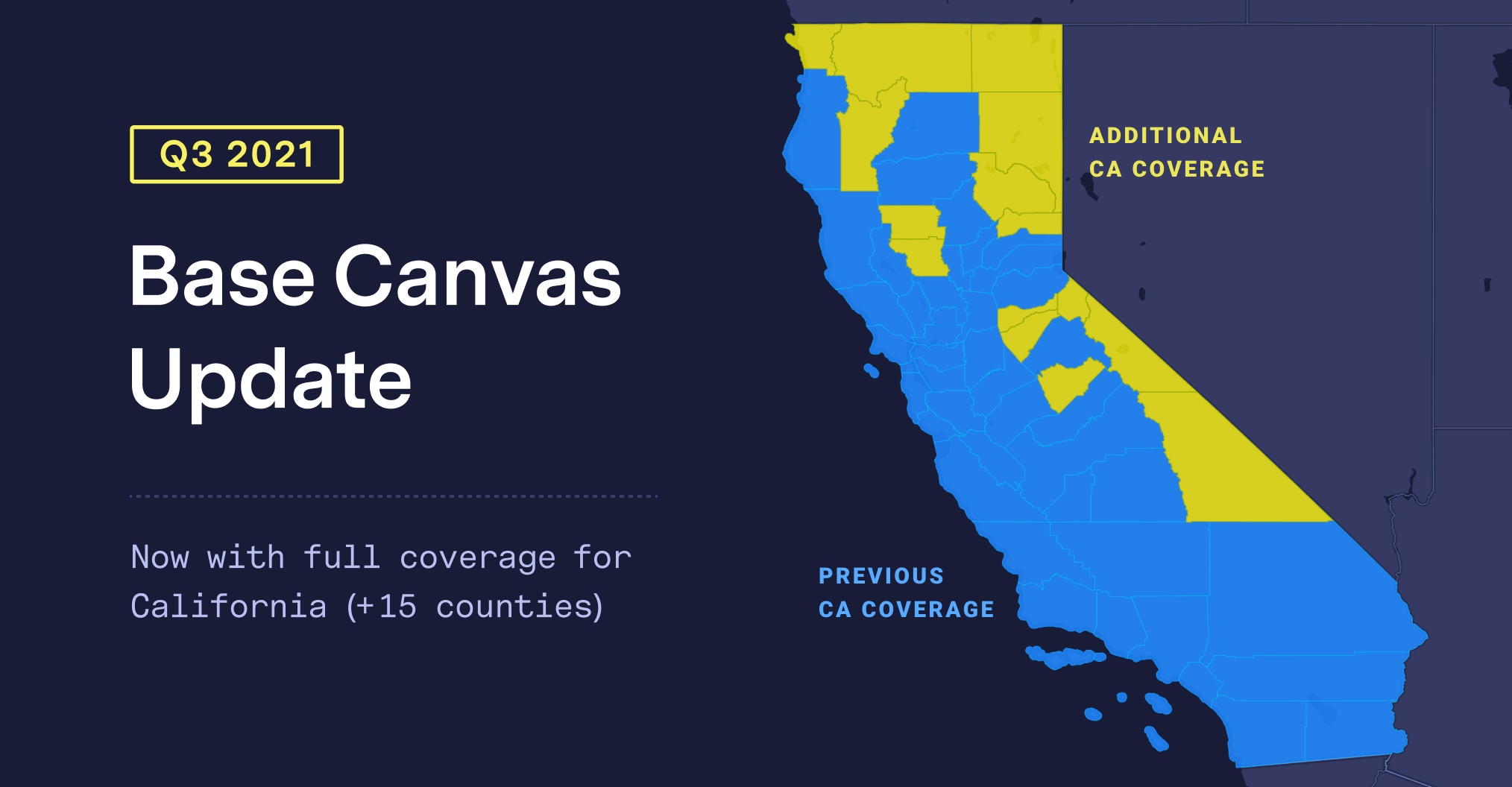
With this quarter’s update (pushed live on July 9, 2021), we’ve expanded coverage of the Base Canvas in California by an additional 15 counties, bringing complete parcel coverage across the entire state. We’ve also updated parcel geometries and attribute data for hundreds of counties across the U.S.
Other changes to the Base Canvas parcel data include:
- Improved typing of commercial land use, through an update to the underlying
point-of-interest (POI) data - More accurate assignment of land-use (and employment information), through an update
to the underlying OpenStreetMap data
We always welcome your help on continually improving the Base Canvas. Feel free to use this form to suggest specific improvements or parcel corrections.

We’re committed to providing you with the highest quality and most currently available data—absolute essentials for robust planning and accurate analysis.
To learn more about using the Base Canvas, check out our help documentation.
