


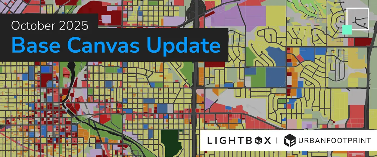
Next Generation UrbanFootprint Base Canvas is now Powered by LightBox Data!
UrbanFootprint became part of LightBox in June 2025 and we’ve been hard at work integrating Lightbox’s industry-leading data into the UrbanFootprint product experience.
We’re excited to announce our first major data integration release, which connects the UrbanFootprint Base Canvas and Parcel Reference Data products with LightBox’s national parcel dataset.
A Stronger Foundation, Powered by LightBox
UrbanFootprint’s Base Canvas and Parcel Reference Data are now built directly on LightBox SmartFabric, the industry’s most comprehensive and current nationwide parcel dataset. This update brings significant improvements in data precision, completeness, and spatial alignment.
LightBox data is rigorously validated through multiple authoritative and commercial sources, offering unparalleled accuracy across every county and jurisdiction in the U.S. This ensures that UrbanFootprint users can trust their parcel insights for critical decisions.
By integrating LightBox SmartFabric, UrbanFootprint gains the same foundational data trusted by federal agencies, top real estate firms, utilities, and infrastructure providers. This means:
- Higher fidelity parcel boundaries and attributes that improve spatial accuracy and modeling.
- Improved data currency, which ensures that each quarterly UrbanFootprint release incorporates the freshest available data.
- Unified, standardized coverage that eliminates inconsistencies across county and state lines.
- Enhanced scalability, supporting advanced analytics and integrations with other LightBox datasets such as ownership, zoning, and environmental data.
To learn more about how LightBox SmartFabric is collected and maintained, visit the SmartFabric documentation site.
What’s New in This Release
This quarter’s data update includes:
- LightBox Parcel Data Integration. Base Canvas and Parcel Reference Data are now built on top of LightBox Parcel Data.
- Expanded Download Access. Parcel data is now fully downloadable in all U.S. counties. Previous download restrictions in some areas have been removed, ensuring consistent access nationwide.
- Enhanced Base Canvas Accuracy. Population estimates are closer to Census benchmarks nationwide. Because Base Canvas powers UrbanFootprint’s analysis modules and existing conditions dashboards, you’ll see improvements reflected throughout your workflows.
Any new UrbanFootprint project will automatically use the latest Base Canvas and Parcel Reference Data.
Learn more about UrbanFootprint’s parcel datasets: Unlock the Power of Unified Parcel Data.
