


UrbanFootprint features the most comprehensive, nationwide land-use database available, and we continually work to make it even better. As part of our ongoing efforts, we update UrbanFootprint’s Base Canvas parcel data every quarter.
With this quarter’s update, we’ve captured new employment data. By updating the underlying data source from the U.S. Census Bureau’s LODES 2017 to the newly released LODES 2018, the UrbanFootprint Base Canvas now provides you with the latest available census-based employment data, adding nearly 3.5 million jobs nationwide.
(Please note: For the base canvas and long-range planning purposes, we don’t account for what are hopefully short-term impacts of job losses in recent months due to COVID-19. We’re currently building resiliency indexes, which will incorporate pandemic-related job losses.)
In addition to new employment data, this quarter’s update includes:
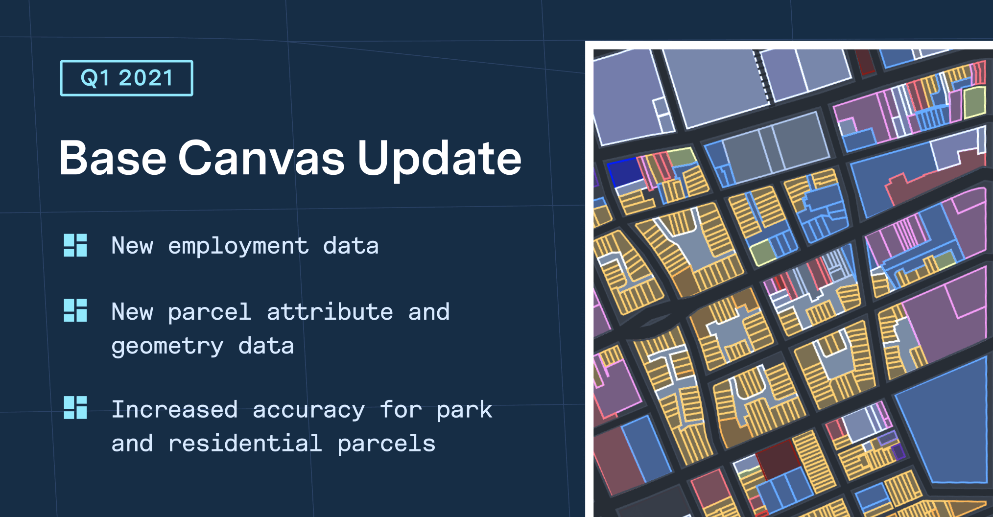
- Updated parcel geometries for 132 counties (improving their data vintage by an average of 2 years); and updated parcel attributes for 1,022 counties (improving their vintage by an average of 108 days).
- More accurate assignment of current land use to parcels with parks and multi-family residential buildings, resulting in fewer incorrectly assigned park or residential parcels.
As with any feedback, we welcome your help on improving the Base Canvas. Feel free to use this form to report incorrectly typed parcels.
At UrbanFootprint, we’re committed to providing you with the highest quality and most currently available data—absolute essentials for robust planning and accurate analysis.
To learn more about using the Base Canvas, check out our help documentation.
