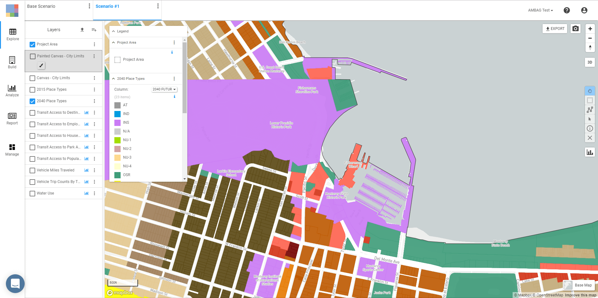
AMBAG joined UrbanFootprint’s free California Civic program this year to enhance the planning process for the upcoming Metropolitan Transportation Plan/Sustainable Communities Strategy (MTP/SCS).

The Association of Monterey Bay Area Governments (AMBAG) oversees 18 cities and three counties, including Monterey, San Benito and Santa Cruz County. As a federally designated Metropolitan Planning Organization (MPO) and Council of Governments (COG), AMBAG leads regional planning efforts to strengthen the area’s unique environment, economy and culture in partnership with local jurisdictions.
AMBAG joined UrbanFootprint’s California Civic program this year to enhance the planning process for the upcoming Metropolitan Transportation Plan/Sustainable Communities Strategy (MTP/SCS). AMBAG GIS Coordinator Gina Schmidt explains: “When we heard about UrbanFootprint’s partnership with the State of California, we immediately thought this would be an excellent tool to support our Sustainable Communities Strategy, a critical, long-range planning process we’re required to update every four years.”
As AMBAG prepares to kick off the MTP/SCS scenario planning phase over the next two years, the team is onboarding local jurisdictions to enhance technical support amongst their member jurisdictions and introduce the ability to quickly create and analyze iterative scenarios with UrbanFootprint.
“We are really impressed with how UrbanFootprint makes it easy for our member jurisdictions to do real-time scenario planning and analysis without any prior GIS training,” shares Schmidt. “We envision this being an essential tool for enhancing our collective analytical capabilities and a key time-saver in streamlining communication between our member jurisdictions. While the traditional MTP/SCS planning process typically requires dozens of meetings and extensive internal staff time to make necessary changes, UrbanFootprint allows jurisdictions to easily collaborate with standardized data-sharing and built-in analytics.”
The AMBAG team is also working to incorporate UrbanFootprint as a key component in MTP/SCS’s public participation process. UrbanFootprint lets users quickly analyze current and future land use impacts across a wide range of important planning considerations, including emissions, accessibility, resilience factors, household costs, conservation, and more. As Schmidt shares, “It’s our ultimate goal to empower each of our jurisdictions to mock up scenarios in real time and use the resulting analytics to drive the participation process.”
Stay tuned for more updates from AMBAG on how they’re using UrbanFootprint in the Metropolitan Transportation Plan/Sustainable Communities Strategy.
Curious to learn more about our California Civic program? Head on over to blog to read more.

Ready to upgrade the way you plan? Get a free demo and see how the UrbanFootprint urban planning software can transform your planning for good.

