Login
Request Demo
  • Features
    • Base Canvas
    • Data Library
    • Scenario Planning
    • Analysis Modules
    • Mapping & Cartography
  • Solutions
        • Industries
        • Planning & Design
        • Cities & Governments
        • Environmental Analysts
        • NGOs & Nonprofits
        • New Mobility
        • Academic
        • Real Estate
        • See all
        • Use Cases
        • Proposals
        • Existing Conditions
          • Housing
        • Site Selection
        • Response & Recovery
          • Energy
  • Pricing
  • About
    • Meet the Team
    • Jobs
    • Partners
    • Contact Us
    • In the News
  • Resources
    • Case Studies
    • White Papers
    • Videos
    • Technical Support
    • Blog
  • Blog
  • Login
  • Book a Demo

Analyze Current and Future Land Use and Policy in Minutes

UrbanFootprint’s analytics suite measures existing conditions and future plan impacts across a range of key metrics in record time.

BOOK A DEMO

Or start 7-day free trial

Analysis Modules

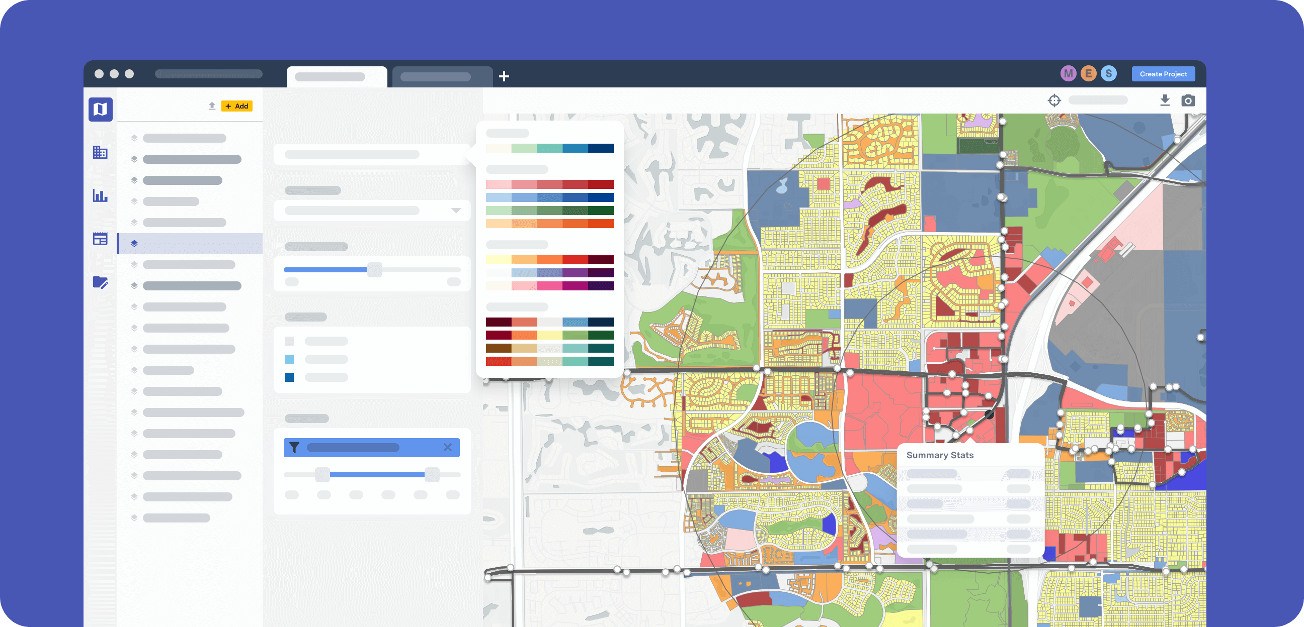
Easy, cost-efficient analysis breaks down traditional data silos to deliver a more complete assessment of land use and policy impacts. Distill vast, complex datasets into clear, scenario-based mapping and reporting.

Emissions

Calculate carbon and pollutant emissions associated with energy use, water use, and transportation.

Risk & Resilience

Map and measure projected impacts of sea level rise, flood inundation, and fire hazard.

Land Consumption

Measure impacts on natural lands and land consumed by urbanization, including details like greenfield versus infill and redevelopment.

Energy Use

Estimate electricity and natural gas use for residential and commercial buildings based on building type and climate zone.

Water Use

Analyze current and future indoor and outdoor water consumption for both residential and commercial buildings.

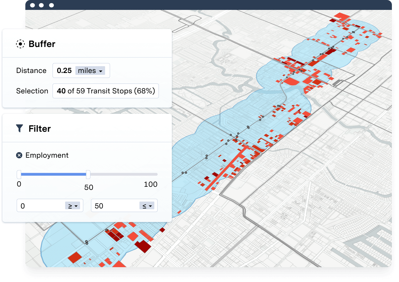
Transit Accessibility

Map and measure public transit access to employment, parks, schools, hospitals, and more.

Transportation

Assess and map vehicle miles traveled, fuel use, and emissions for current and future scenarios.

Walk Accessibility

Measure and map walk access to transit stops, parks and schools, services, and other key amenities.

Household Costs

Analyze annual household expenses associated with energy, water, and transportation use.

Conservation

Assess impacts on water quality, habitat, agriculture, and carbon sequestration.

Analysis Modules

In-App Analysis

Analyze current and future conditions with the click of a button.

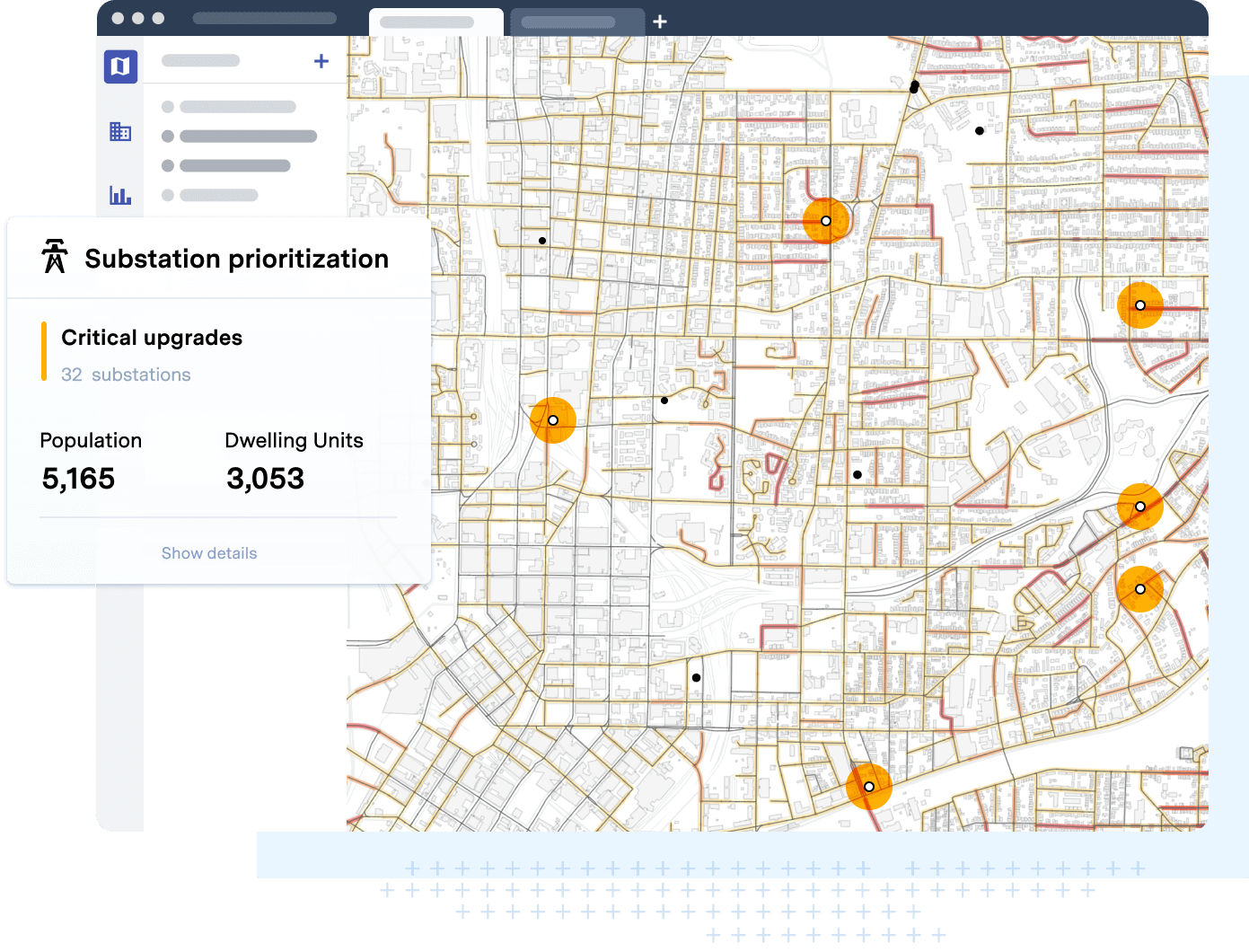
UrbanFootprint Analysis Modules and advanced scenario planning capabilities deliver actionable insights to address complex questions: How will land use choices impact emissions and climate action plan goals? How might different plans impact household costs and vehicle-miles traveled? Get the tools you need quantify impacts and benefits for unlimited scenarios.

Edit your analysis assumptions to understand planning policy impacts

Fully Customizable

Localize reporting with customized Analytics Modules.

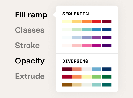
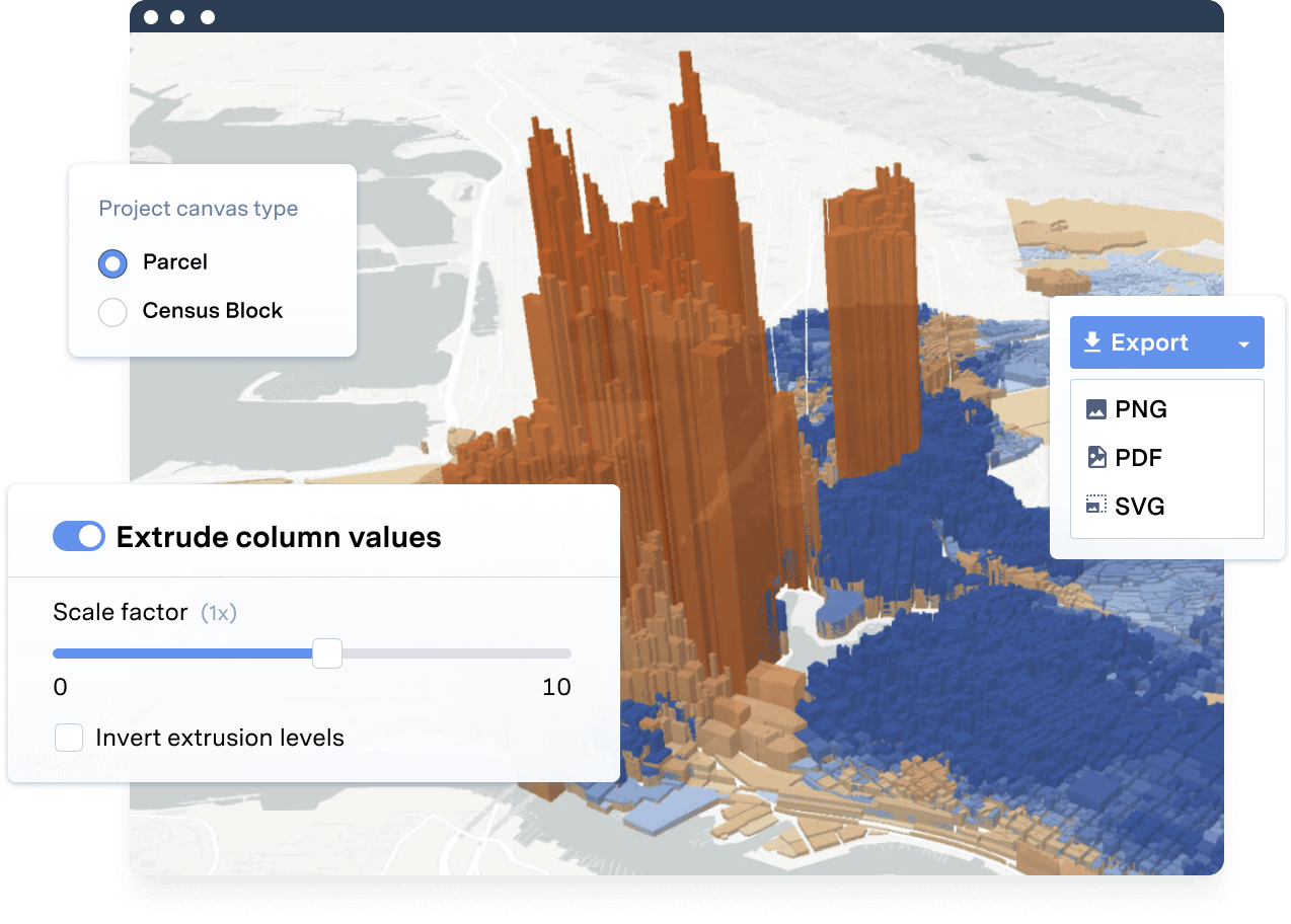
Customize model assumptions to get the most accurate assessment of current and future land use conditions. Test how building efficiency, auto fleet, and emissions policies impact key outcomes. UrbanFootprint users can edit analysis assumptions to reflect local conditions or test policy variations.

Reporting charts from analysis modules

Effective Reporting

Quickly compare outcomes with built-in reporting templates.

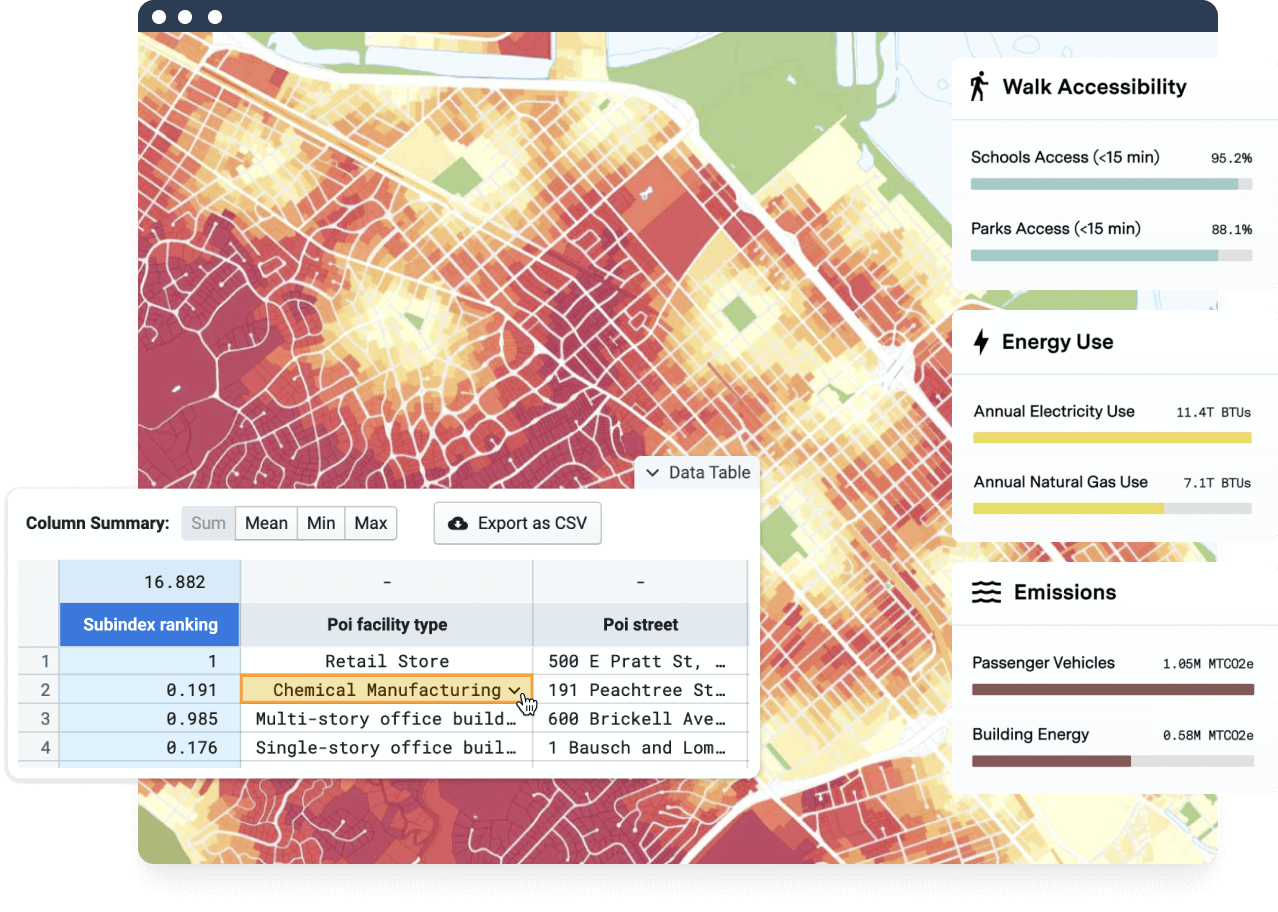
Communicate scenario impacts with ease. Use UrbanFootprint’s built-in reporting templates to compare scenario outputs across a wide range of metrics, including conservation, emissions, water use, energy use, and more. Enhance public engagement and support data-driven conversations with clear, transparent reporting.

Frequently asked questions

How do the Analysis Modules work?

UrbanFootprint’s Analysis Modules build on over 30 years of expertise in urban planning and are engineered by our team of data scientists. Ready to dive into the details of each module? View our methodology guides to learn more.

Can you provide some examples of what the Analysis Modules measure?

The Analysis Modules provide insights on a host of key planning, conservation, and mobility metrics, from energy and water use, to walk access to schools and transit, to sea rise and habitat impact. For example, if you’re a city planner working on a comprehensive plan or climate action plan, the Emissions Module will provide guidance as to how current and future land use changes may impact greenhouse gas and pollutant emissions. In that same climate action plan, you may want to test various scenarios for impacts on vehicle miles traveled or water use. View our methodology guides to learn more about outputs for each of our Analysis Modules.

See UrbanFootprint in action

Ready to learn more? Book a demo and discover how to get quick locations insights with UrbanFootprint.

BOOK A DEMO

Already a customer? Log in

No installation

UrbanFootprint is cloud-based software, ready to go with just a computer and internet connection.

Flexible plans

One license covers everyone at your firm, jurisdiction, or organization.

Consistent upgrades

New platform features roll out to all users every season at no added cost.

Robust support

We’re invested in your success. Our customer support team is here to help.

    • Features
    • Base Canvas
    • Data Library
    • Scenario Planning
    • Analysis Modules
    • Mapping & Cartography
    • Use Cases
    • Response & Recovery
    • Proposals
    • Existing Conditions
    • Site Selection
    • Housing
    • Energy
    • Solutions
    • Planning & Design
    • Cities & Governments
    • Environmental Analysts
    • NGOs & Nonprofits
    • New Mobility
    • Academic
    • Real Estate
    • Resources
    • Case Studies
    • Blog
    • White Papers
    • Videos
    • Support
    • About
    • Meet the Team
    • Jobs
    • Pricing
    • Partners
    • In the News
    • Contact Us
  • Free Trial
  • LOGIN
  • BOOK A DEMO

©2021 All rights reserved.

  • Terms & Conditions
  • Privacy