


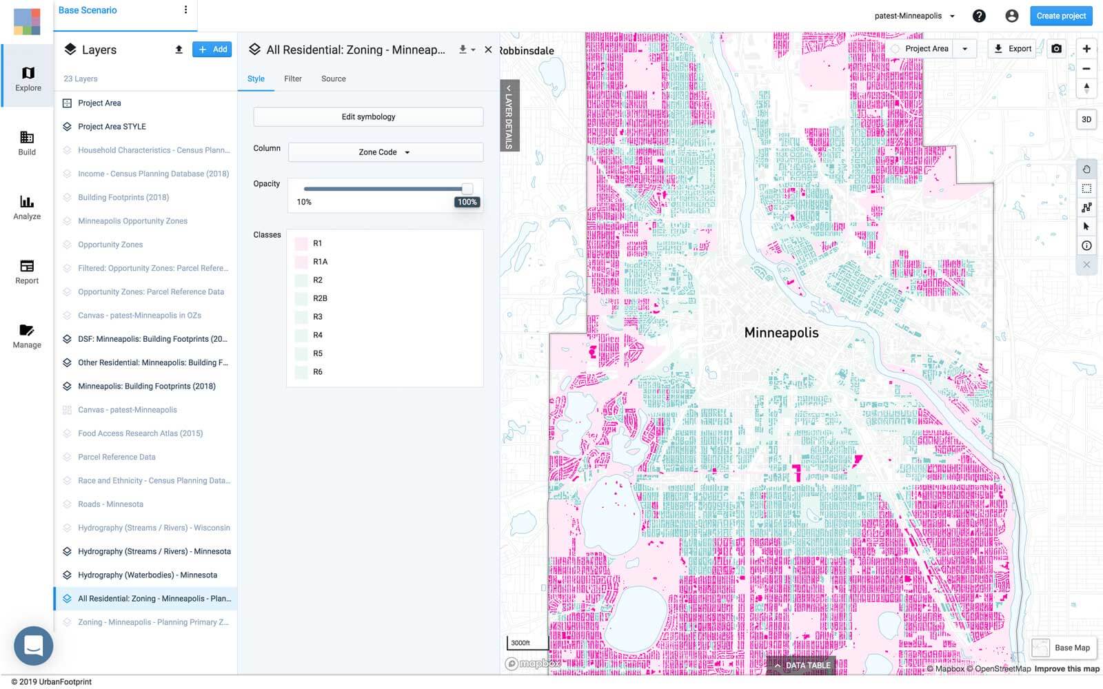
Today’s New York Times Upshot examines single-family zoning in America, featuring data analysis and mapping conducted with UrbanFootprint. Authors Emily Badger and Quoctrung Bui dive into the data to explore the extensive reach of single-family zoning in cities across the country, noting “it is illegal on 75 percent of the residential land in many American cities to build anything other than a detached single-family home.” Yet, we’re beginning to see more state and local governments making moves to open up the possibility for more housing options.
As Badger and Bui share, “the Oregon legislature will consider a law that would end zoning exclusively for single-family homes in most of the state. California lawmakers have drafted a bill that would effectively do the same. In December, the Minneapolis City Council voted to end single-family zoning citywide.”
The impact of these changes could be huge. According to the fine folks at @ufplatform (who helped us analyze the zoning codes for all these cities) in Minneapolis alone you could make over 6k units of housing if you turned just 5% of its largest single-family lots into triplexes
— Quoctrung Bui (@qdbui) June 18, 2019
Read the full article to get the scoop, “Cities Start to Question an American Ideal: A House With a Yard on Every Lot”.