UrbanFootprint
Login
Request Demo
  • Solutions
        • Resilience Insights

          Power decision making with curated data and models assembled and intersected to surface insight

        • INSIGHT TYPES

        • Infrastructure & MobilityPhysical infrastructure, modernization, and the transition to electric vehicles
        • Public Service & AdministrationCommunity assistance, resource distribution, and program management
        • –

        • Climate Risk & SustainabilityClimate change, exposure to hazards, and impact analysis
        • Capital Markets & ESGInvestment evaluation, portfolio management, and ESG compliance
  • Technology
        • Our Technology

          The UrbanFootprint platform curates components of our Data Foundations to build Resilience Insights and deliver them through one or more Data Experience

        • DATA FOUNDATIONS

        • Built EnvironmentLand use, buildings, transportation, and infrastructure detail
        • People & VulnerabilitiesCommunity and household characteristics with modeled need
        • Climate & HazardsCurrent and future hazard risks plus land and assets impacted
        • DATA EXPERIENCES

        • AnalystCloud-based GIS mapping and analytics application
        • ExplorerCloud-based map visualization and dashboard application
        • Direct DataFlexible data integration and feeds to customer systems
  • Resources
        • RESOURCE TYPE

        • Case Studies
        • Solution Overviews, eBooks, and Whitepapers
        • LEARN MORE

        • Community Resilience
        • Climate Resilience
        • ESG
        • Social Equity
        • TECHNICAL SUPPORT

        • Product Documentation
        • Contact Us
  • Blog
        • Existing Conditions Assessments Key
          Power Your Next Project with the UrbanFootprint Existing Conditions Dashboard
          Existing Conditions Dashboard Charts Key Image
          Launch Faster with UrbanFootprint’s New Existing Conditions Dashboard
          Eaton Fire Area And Special Wind Regions In Southern California
          Spotlight on Wildfire Risk – How Wind, Weather, and Wildland Development are Fueling Extreme Events
          Sample view of updated transit data in San Francisco
          Fresh Data from UrbanFootprint
          Commercial Property Impacts in Altadena
          Impacts of the LA Fires: Setting the Context for Recovery
          SB6-SanJose@1200w
          Unlock the Powers of Unified Parcel Data with UrbanFootprint
        • View all blog posts
  • About
        • AboutLearn about our story and our mission statement.
        • Learn more

        • LeadershipMeet the faces behind the UrbanFootprint team.
        • Learn more

        • In the NewsNews and writings, press releases, and resources.
        • Learn more

        • CareersWe’re always looking for talented people. Join us!
        • Learn more

  • Login
    • Analyst  ↗
    • Explorer ↗
  • Contact Us
icon-built-environmen

BUILT ENVIRONMENT

The most comprehensive view of land use conditions.

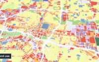
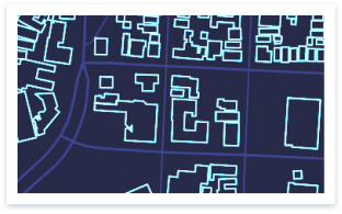
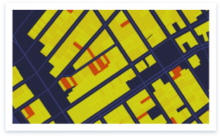
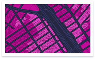
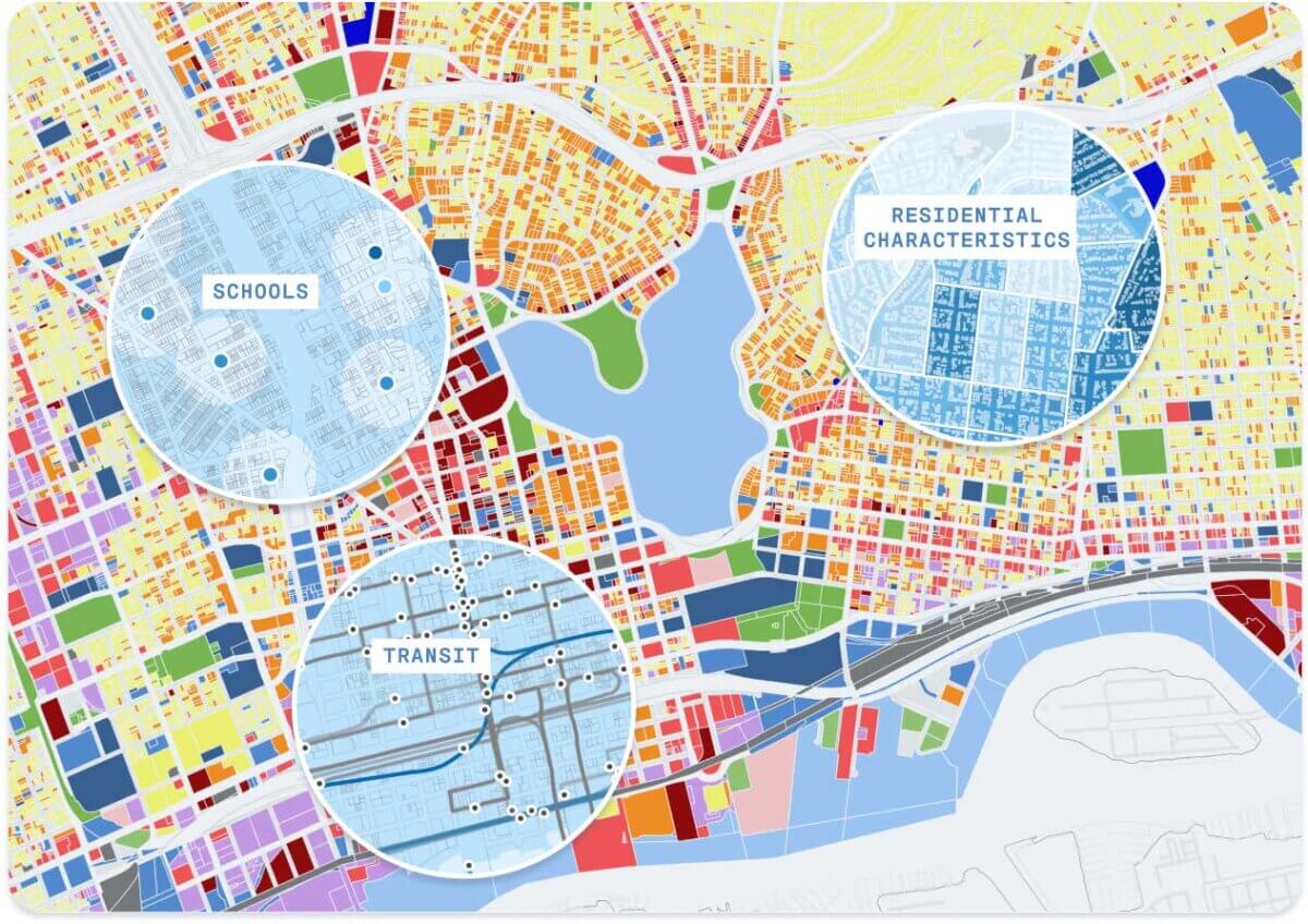
The Built Environment Foundation is a curated collection of datasets and models offering an up-to-date view of land use, buildings, transportation, and infrastructure for all US locations. It is a one-of-kind unified assembly of 160 million land parcels that can be used to understand site conditions and community context at virtually any scale – parcels, blocks, neighborhoods, zip codes, counties, and more.  The metrics available in this Data Foundation serve as the critical components for building Resilience Insights.

NATIONWIDE   •   HYPER-LOCAL   •   NORMALIZED   •   UNIFIED   •   NATIONWIDE   •   HYPER-LOCAL   •   NORMALIZED   •   UNIFIED   •   NATIONWIDE   •   HYPER-LOCAL   •   NORMALIZED   •   UNIFIED   •  
Xraythumbnails Be 1
Xraythumbnails Be 2
Xraythumbnails Be 3
Xraythumbnails Be 4
Xraythumbnails Be 5
Xraythumbnails Be 6
Data categories & pre-computed metrics

Ready-to-use datasets and metrics let you spend less time curating and cleaning data and more time focused on making critical decisions.

Icon Land Use

Land Use – The Base Canvas

The Built Environment Foundation is home to UrbanFootprint’s Base Canvas, a one-of-a-kind dataset of key land use, building, and market stats across all U.S. parcels and addresses.

The Base Canvas leverages dozens of commercial and public data sets, cutting edge data science and machine learning, and over 30 years of deep domain expertise to present the most detailed and up-to-date view of site conditions across 160 million U.S. land parcels – granular detail for nearly every inch of the county.

The Base Canvas serves as the geospatial underpinning for the entire UrbanFootprint Platform, aligning the metrics and models across all three Data Foundations into one unified digital landscape and unlocking multi-dimensional analysis at any scale – site, regional, national, or any other geography.

Category Be 00 Basecanvas

Icon Mobility Circulation

Mobility & Circulation

Extensive detail on roads, rail, transit, multi-modal site accessibility, EV charger locations, and more via hundreds of nationwide transportation datasets

Icon Infrastructure

Infrastructure

Comprehensive view of infrastructure, including roads and rail, water districts, power lines and substations, and more

Icon Administrative Boundaries

Administrative Boundaries

All standard geographies and boundaries in one unified database, including congressional districts, census blocks and tracts, zip codes, school districts, and jurisdiction boundaries

Icon Points of Interest

Points of Interest

Extensive information about local and regional destinations such as hospitals, parks, retail sites, and other key amenities

Icon Walk

Walk & Transit Accessibility

Walk, transit, and non-auto accessibility to parcels, transit stops, parks and schools, hospitals, retail services, and other key amenities

Icon Resource Consumption

Resource Consumption

Quantified energy and water use per parcel, vehicle miles traveled, fuel use, and emissions based upon current scenarios

The insight engine

Across industries, we turn siloed data into holistic insights

Insightengine
The best raw data sourced and organized

The Built Environment Foundation combines commercially-sourced parcel and point-of-interest data with public and open data sources and unifies them within one consistent and accessible data core

Normalized and aligned for effective data layering

All datasets are rigorously cleaned and aligned across all 160 millions parcels in the UrbanFootprint Base Canvas to power mapping and multidimensional analysis at any scale

Processed and modeled for purpose-built solutions

We use proprietary algorithms and data normalization processes, informed by deep domain expertise in urban planning and data science to validate and regularly update the Built Environment Foundation

Venndiagram
Resilience Insights

Building Resilience Insights

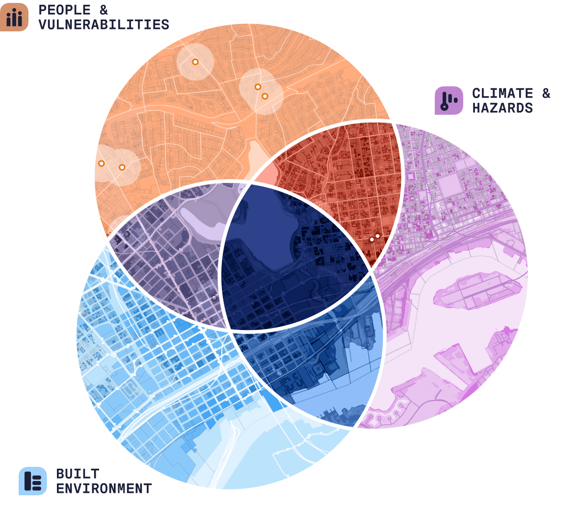
Resilience Insights intersect specifically curated data metrics and models from the Data Foundations to drive more effective investment prioritization, quantified risk and vulnerability assessments, and optimized site selection and infrastructure investments.

Solutions

Find the solution right for you

Thumbnail Climate
Menu Icon Climaterisk

Climate Risk & Sustainability

Navigate hazard risk and build resilience with a comprehensive and up-to-date view of climate, community, and market dynamics.

Learn More

Thumnail Infrastructure
Menu Icon Infrastructureandmobility

Infrastructure & Mobility

Inform urgent energy grid investments, EV deployment, regulatory compliance, and sustainability initiatives.

Learn More

Thumbnail Captialmarkets
Menu Icon Capitalmarkets

Capital Markets & ESG

Leverage climate, market, and community data to navigate disclosure requirements and understand climate and community risks and opportunities.

Learn More

Thumbanil Publicservice
Menu Icon Publicservice

Public Service & Administration

Map and measure community vulnerability and eligibility for federal and state assistance and disaster relief.

Learn More

Tweet
Share
Share

Never wonder where

UrbanFootprint logo
Contact Us

    • SOLUTIONS
    • Climate Risk & Sustainability
    • Infrastructure & Mobility
    • Public Service & Administration
    • Capital Markets & ESG
    • FOUNDATIONS
    • Built Environment
    • People & Vulnerabilities
    • Climate & Hazards
    • EXPERIENCES
    • Analyst
    • Explorer
    • Direct Data Delivery
    • RESOURCES
    • Case Studies
    • ESG
    • Community Resilience
    • Climate Resilience
    • Technical Support
    • ABOUT
    • Careers
    • Leadership
    • In the News
    • Contact Us

©2025 All rights reserved.

  • Terms & Conditions
  • Privacy Policy