UrbanFootprint Analyst
Map and assess existing conditions for any U.S. location using geospatial data on more than 120 million parcels.
Comprehensive coverage
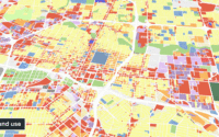
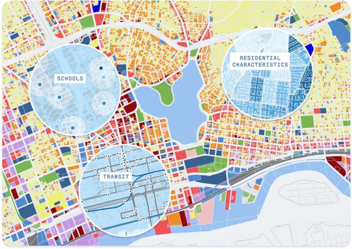
The Base Canvas in UrbanFootprint Analyst powers smart urban and mobility planning at every scale. Map and assess existing conditions with built-in parcel and block-level land use, housing, and employment data.
Extensive data
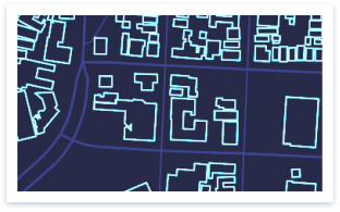
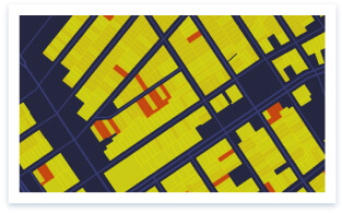
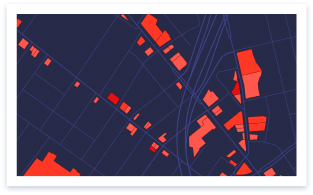
Each Base Canvas parcel is preloaded with over 70 data attributes, including population, residential and employment characteristics, parcel area, building area, land use type, intersection density, and more.
Trusted crowd-sourcing
The Base Canvas is updated regularly based on new data sources, user intelligence, and proprietary algorithms.
The Base Canvas combines commercially-sourced parcel data along with trusted public and open data sources using proprietary algorithms and data normalization processes.
We acquire and integrate the latest land use data and parcel geometries from participating cities in the UrbanFootprint Civic program.
To ensure the highest quality and accuracy, we validate our canvas against publicly available census data as well as internal benchmarks.
Our team of planners and data scientists routinely update canvas data via major quarterly releases and weekly targeted updates.
Where does the data in Analyst come from?
The Base Canvas in Analyst is composed of a variety of commercial and publicly available data sources combined using proprietary algorithms and processes. Each parcel includes over 70 attributes including population, residential mix, employment mix, parcel area, building area, land use type, intersection density, irrigated area, and more.
Where do the land use designations come from?
Analyst includes a library of over 150 representative building and place types that describe land use at the parcel and district scales. Every parcel and census block is classified according to its on-the-ground characteristics. Users may also create their own buildings and places to build new scenarios or to further calibrate the Base Canvas to local conditions. Learn more about UrbanFootprint’s Building and Place Type library.
Can I supply my own data as a Base Canvas?
Yes. Public agencies such as towns, cities, counties, or regional agencies may integrate their own Base Canvas via the UrbanFootprint Civic program. All users may edit the existing Base Canvas to enhance parcel information in their own projects. Learn more about the UrbanFootprint Civic data-sharing program and editing the Base Canvas.
Can I download canvas data?
Yes, however, some locations are not available for direct data download due to licensing restrictions.
What formats are available?
Data can be downloaded as shapefiles (.shp), geopackages (.gpkp), scaleable vector graphics (.svg), geoJSON (.json), or comma-separated-values (.csv).
How often is the Base Canvas updated?
The Base Canvas is updated each quarter. There are also targeted updates made on a weekly basis.
Can I update the Base Canvas myself?
Yes, in UrbanFootprint Analyst you can modify land use and values associated with any parcel. This is useful if a parcel has recently been developed and those changes are not yet reflected in the latest version of the Base Canvas. Learn more about editing the Base Canvas.
Ready to learn more? Contact our team today to discover how to get quick locations insights with UrbanFootprint.
Already a customer? Log in
UrbanFootprint is cloud-based software, ready to go with just a computer and internet connection.
One license covers everyone at your firm, jurisdiction, or organization.
New platform features roll out to all users every season at no added cost.
We’re invested in your success. Our customer support team is here to help.