Login
Request Demo
  • Platform
    • Mapping & Analytics
      Application ▸
    • Land Use Canvas
    • Data Library
    • Scenario Planning
    • Analysis Modules
    • Mapping & Cartography
    • Data Insights
      Subscriptions ▸
    • Interactive
      Dashboards ▸
  • Solutions
        • Industries
        • Planning & Design
        • Cities & Governments
        • Environmental Analysts
        • NGOs & Nonprofits
        • New Mobility
        • Academic
        • Real Estate
        • See all
        • Use Cases
        • Proposals
        • Existing Conditions
          • Housing
        • Site Selection
        • Response & Recovery
          • Energy
  • Pricing
  • About
    • Meet the Team
    • Jobs
    • Partners
    • Contact Us
    • In the News
  • Resources
    • Case Studies
    • White Papers
    • Videos
    • Technical Support
    • Blog
  • Blog
  • Login
  • Contact Sales

Access Best-In-Class Mapping & Cartography Tools

Craft beautiful maps with ease. Quickly visualize data for any U.S. location. Customize your maps to clearly communicate key insights.

CONTACT SALES

Or start 7-day free trial

Data layers for cartography

Ready-To-Use Mapping Data

Quickly map location insights with hundreds of curated datasets.

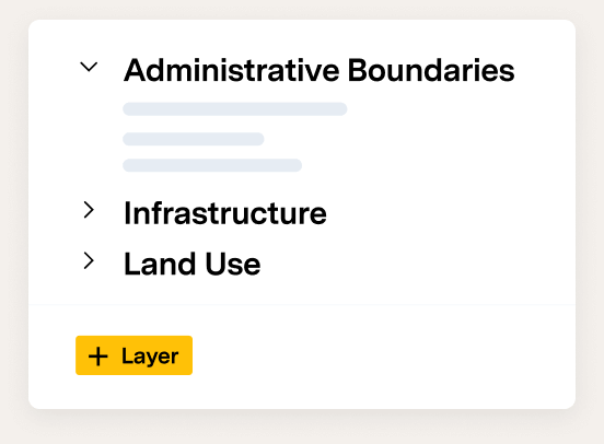
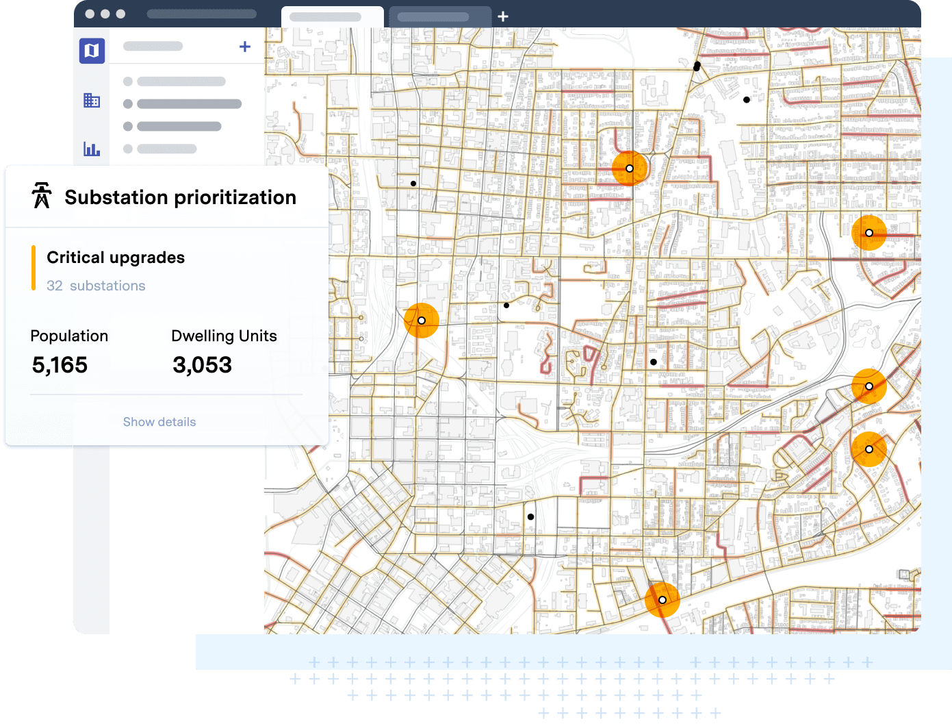
Create a parcel- or block-level land use map in minutes. Powered by UrbanFootprint’s Base Canvas and extensive data library, users can generate an existing conditions map of any U.S. location with just a few clicks. Craft detailed exhibits with hundreds of ready-to-use datasets including building footprints, administrative boundaries, road networks, hazard zones, and transit lines and stops.

Intuitive layer styling tools

Amazing Maps Made Easy

Craft maps with intuitive and intelligent tools.

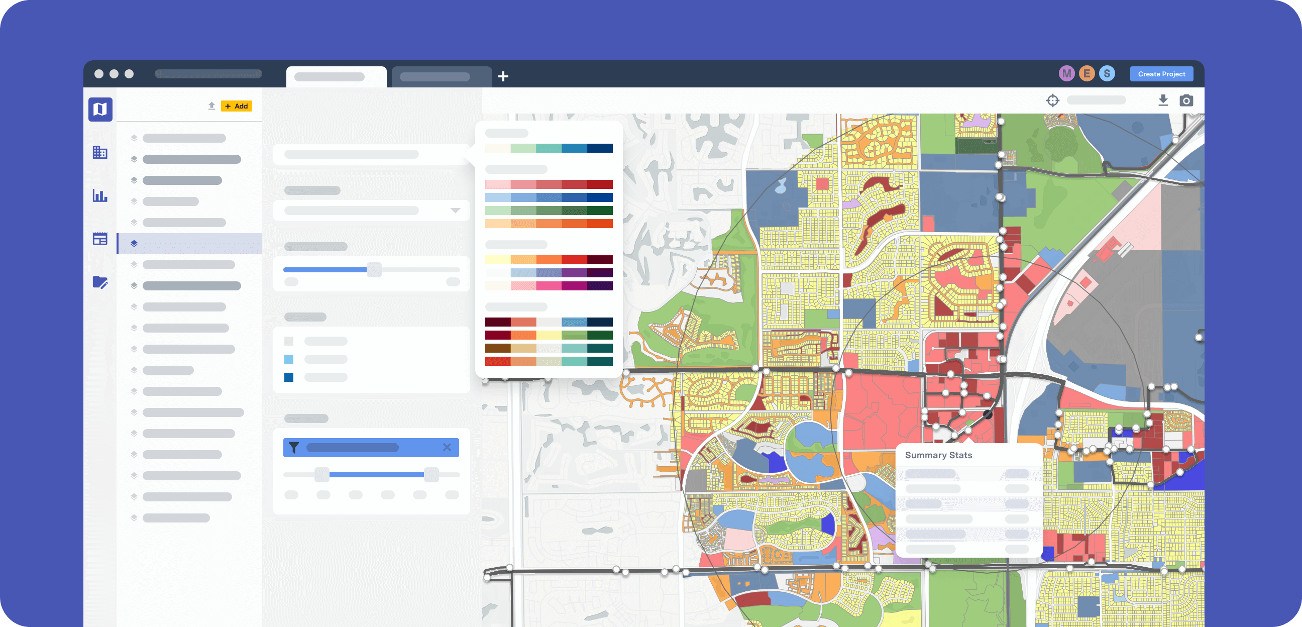
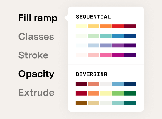
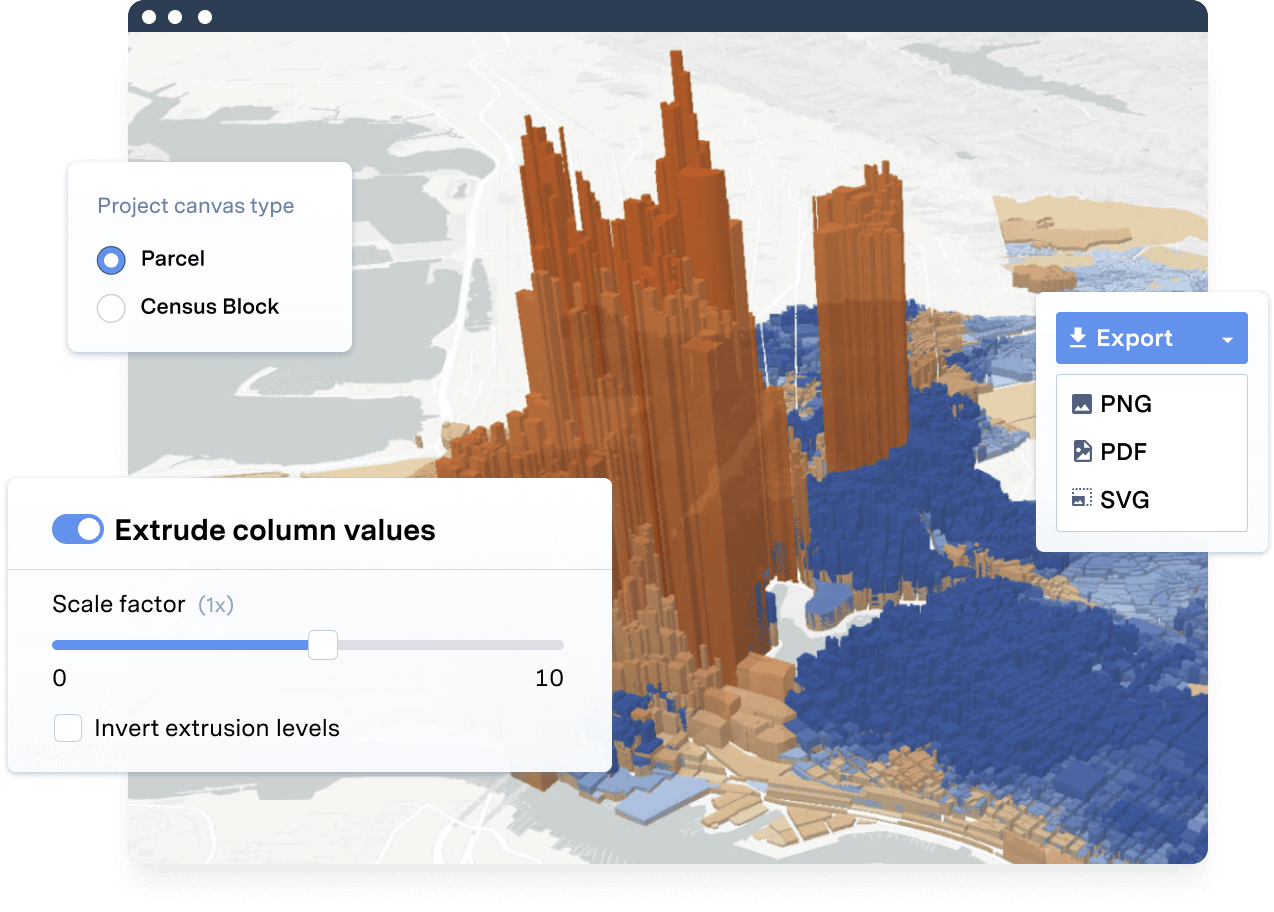
Everyone on the team can make great maps with UrbanFootprint. Create compelling visuals, add 3D insights, customize your colors and data, and choose from a variety of preset base maps and styles.

Map Exports

Export beautiful maps for your presentations, proposals, and reports.

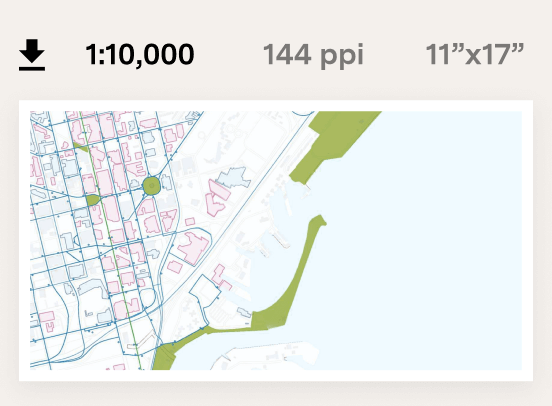
Export any map from UrbanFootprint as a PNG for immediate use or as an SVG for vector editing programs such as Adobe Illustrator. You can also download data layers in any open format, including CSV, shapefile, and SVG. The resulting outputs are polished maps and datasets that are ready to use in any report, presentation, or proposal.

Advanced geospatial operations

Advanced Spatial Operations

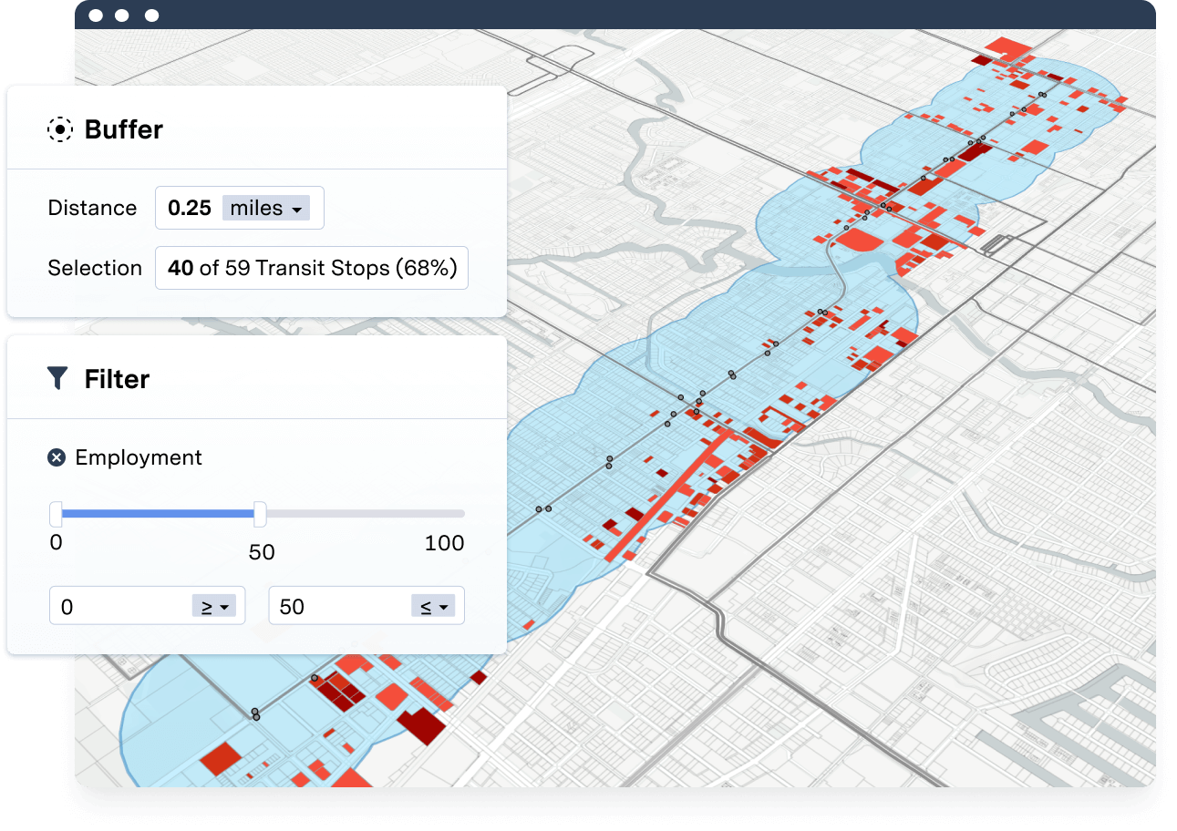
Explore data with easy-to-use joining, buffering, and filtering capabilities.

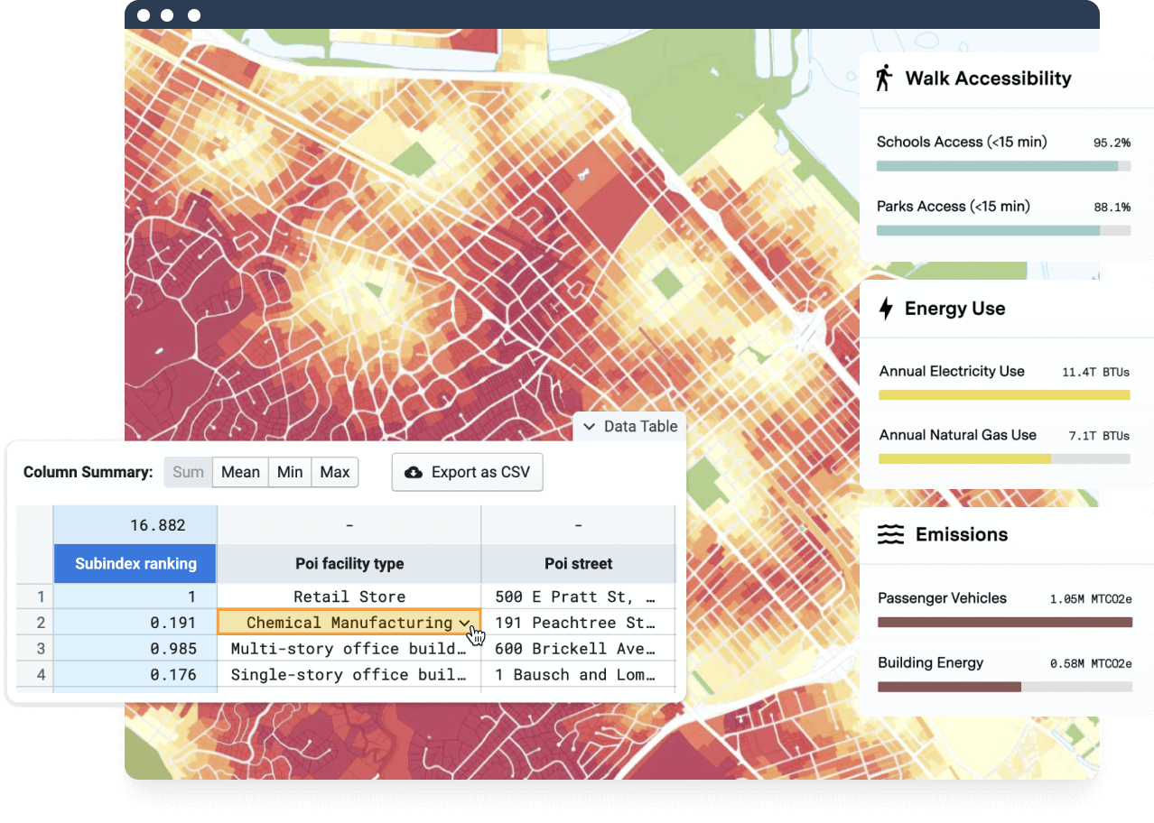
Asking questions of data or performing advanced spatial operations has never been easier. Search and query operations can be used to select and summarize, buffer around selections, and create new layers for mapping and analysis.

Frequently asked questions

Map exports

Can I export maps made in UrbanFootprint?
Yes. Learn more about exporting maps from UrbanFootprint.

Map data

Where does UrbanFootprint’s mapping data come from?
UrbanFootprint data is powered by the platform’s Base Canvas. Each Base Canvas parcel includes over 70 data attributes including population, residential mix, employment mix, parcel area, building area, land use type, intersection density, irrigated area, and more.

Users may complement the Base Canvas map with hundreds of additional public and commercial data sources from the in-app Data Library. The extensive Data Library includes datasets for a wide range of categories, including land use, transport and circulation, parks and open spaces, environment and land cover, equity and environmental justice, and more.

Does UrbanFootprint have global location data available?
UrbanFootprint currently includes data for the United States. We hope to expand this soon! If you’re interested in using UrbanFootprint for an international project, please reach out to sales@urbanfootprint.com.

See UrbanFootprint in action

Ready to learn more? Contact our sales team today to discover how to get quick locations insights with UrbanFootprint.

CONTACT SALES

Already a customer? Log in

No installation

UrbanFootprint is cloud-based software, ready to go with just a computer and internet connection.

Flexible plans

One license covers everyone at your firm, jurisdiction, or organization.

Consistent upgrades

New platform features roll out to all users every season at no added cost.

Robust support

We’re invested in your success. Our customer support team is here to help.

    • Platform
    • Mapping & Analytics Application
    • Data Insights Subscriptions
    • Interactive Dashboards
    • Use Cases
    • Response & Recovery
    • Proposals
    • Existing Conditions
    • Site Selection
    • Housing
    • Energy
    • Solutions
    • Planning & Design
    • Cities & Governments
    • Environmental Analysts
    • NGOs & Nonprofits
    • New Mobility
    • Academic
    • Real Estate
    • Resources
    • Case Studies
    • Blog
    • White Papers
    • Videos
    • Support
    • About
    • Meet the Team
    • Jobs
    • Pricing
    • Partners
    • In the News
    • Contact Us
  • Free Trial
  • LOGIN
  • CONTACT SALES

©2021 All rights reserved.

  • Terms & Conditions
  • Privacy