UrbanFootprint Analyst
Create plan alternatives at any scale with an easy-to-use design toolkit of building and place types. Analyze and report on plan impacts with a full suite of analysis modules.
Scenario Toolkit
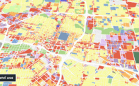
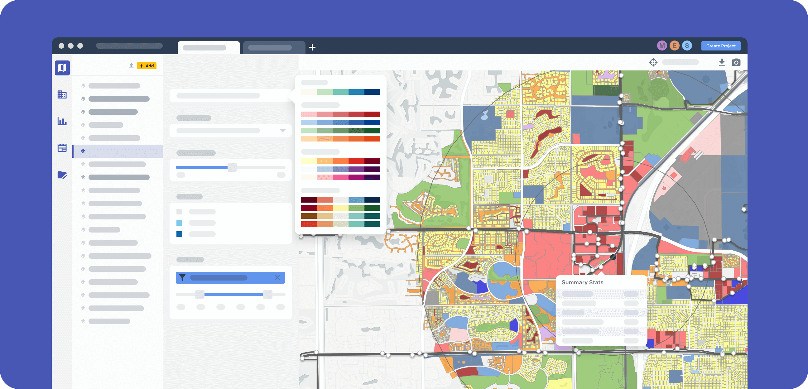
Make quick land use updates in UrbanFootprint Analyst using an extensive, customizable library of building and district-scale land use types covering a full range of potential development options and their corresponding characteristics – density, FAR, building use mix, and more. Build plan alternatives by selecting parcels you’d like to update and applying their new land use designation.
Analyze Alternatives
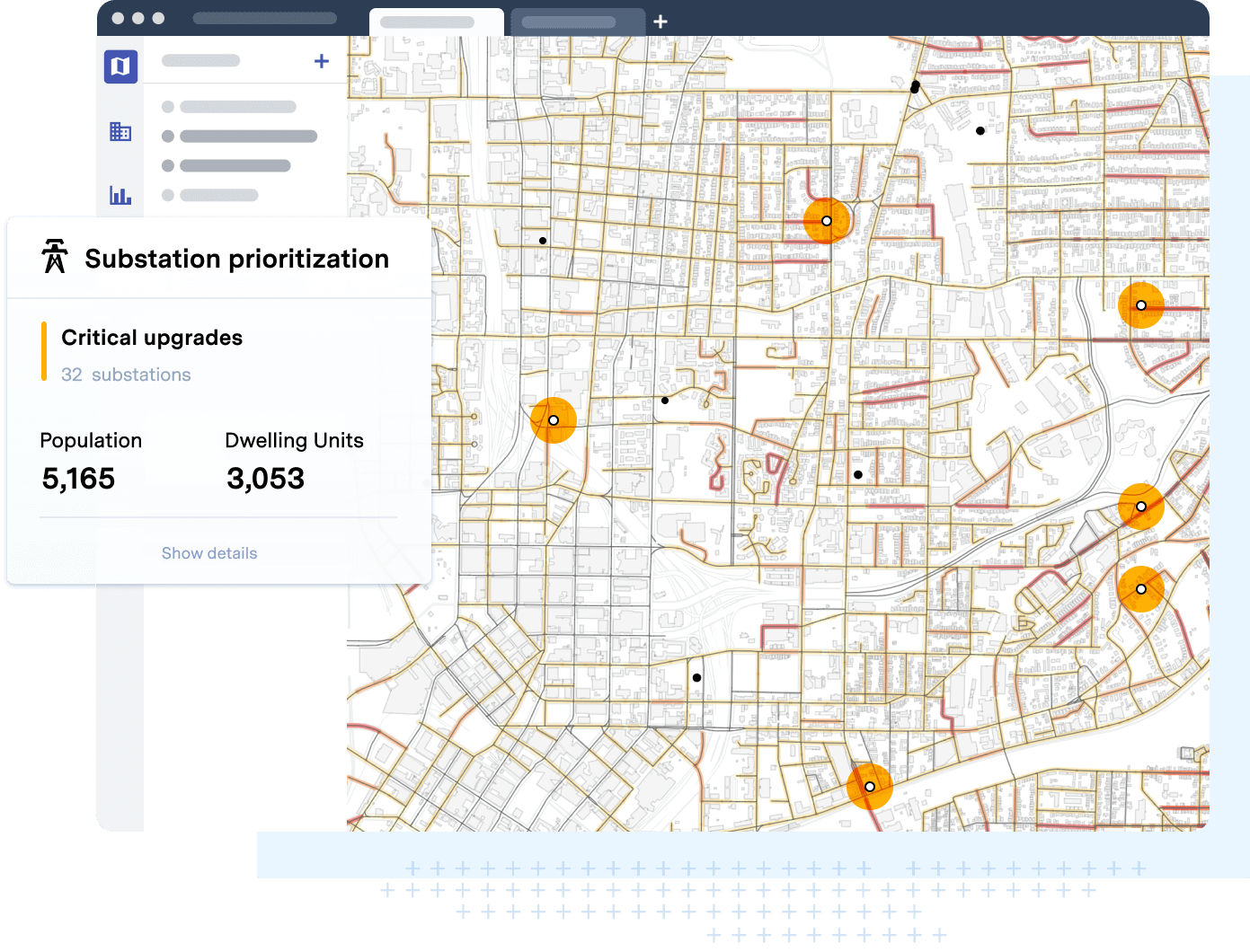
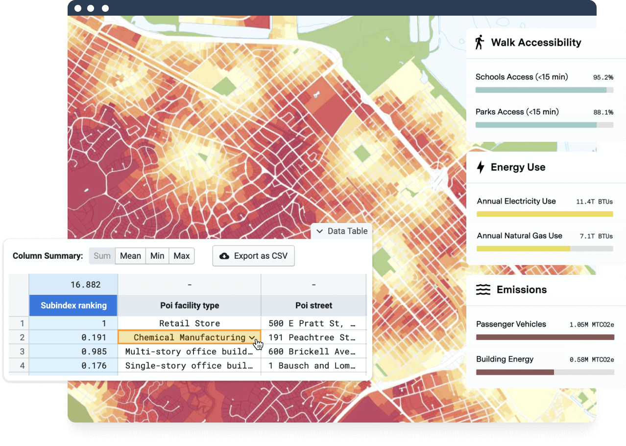
Evaluate the potential impacts of unlimited scenarios with Analyst’s built-in suite of analysis modules, including emissions, resilience, water use, vehicle-miles traveled, accessibility, conservation, and more. Easily compare scenario outcomes with built-in reporting templates.
New!
Parcel Gridding
Streamline your master planning workflows with Parcel Gridding in Analyst. Create new scenarios and split existing parcels to redevelop urban sites or plan entirely new developments.
What are building and place types?
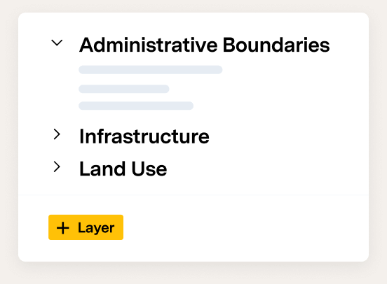
UrbanFootprint Analyst includes a library of over 150 representative buildings and places that describe different types of land use. Every parcel and census block is classified according to its actual on-the-ground characteristics. Learn more about UrbanFootprint’s Building and Place Type library.
Can I add my own building or place types?
Yes. Users may also create their own building and place types with UrbanFootprint’s Built Form Manager.
How do I create new scenarios?
Creating new scenarios in Analyst is easy. Simply start a project in your study location to generate the Base Canvas. Click “Create New Scenario” to create a copy of the original Base Canvas, and select the parcels you’d like to “paint” to update with new building types. Read on to learn more about scenario planning with UrbanFootprint.
Can I export scenario data?
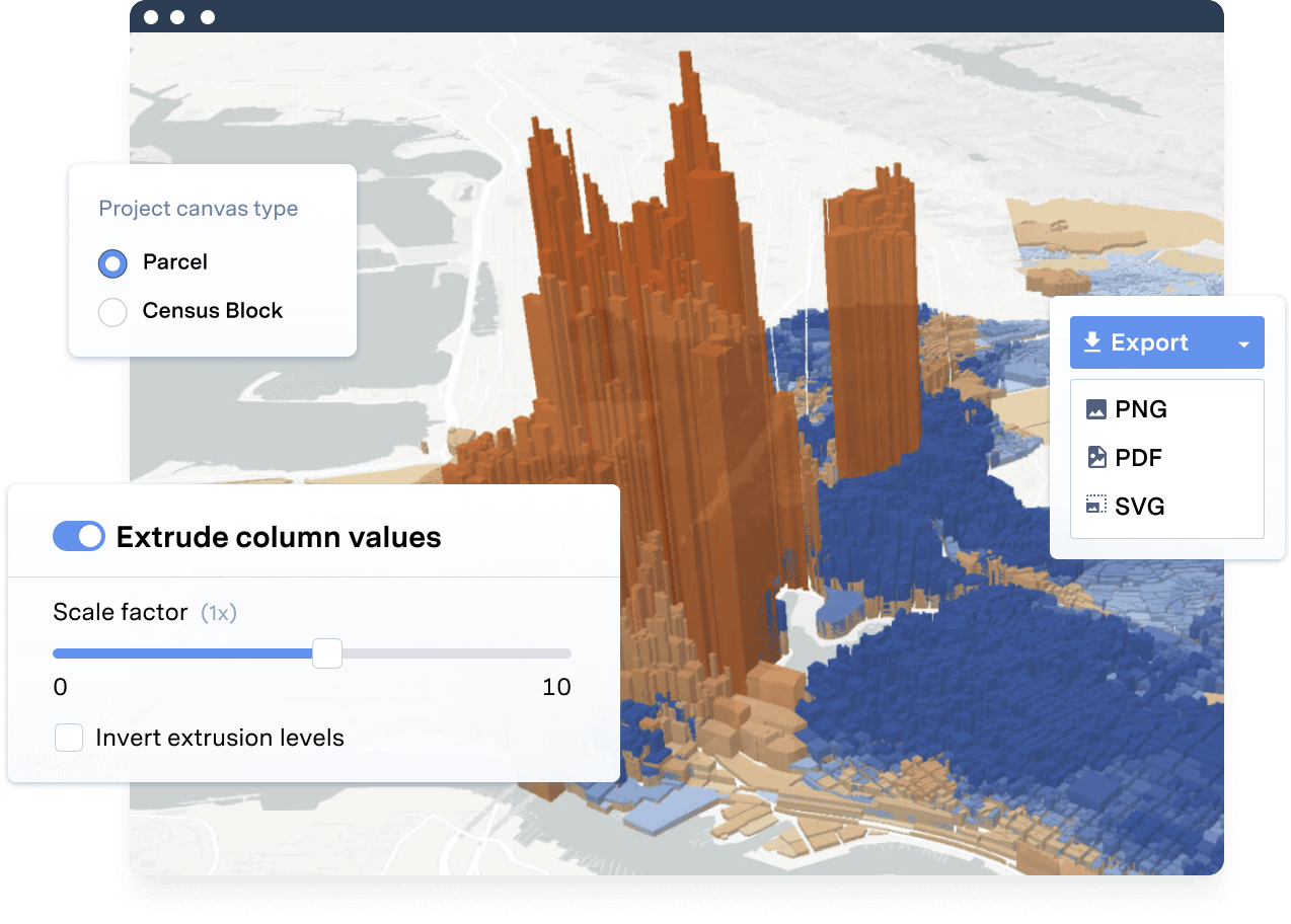
Yes. Users may export the raw data to create custom reports and visuals if needed.
What analytics does UrbanFootprint Analyst include?
UrbanFootprint Analyst includes the following built-in analysis modules: Emissions, Risk & Resilience, Conservation, Water Use, Energy Use, Transportation, Walk Accessibility, Transit Accessibility, Household Costs, and Land Consumption. With just a few clicks of a button, the Analysis Modules can help users measure existing conditions and/or understand the impacts of future plan scenarios. Learn more about Analysis Modules in UrbanFootprint Analyst.
How do I model a sea level rise scenario or view fire hazard areas?
The Risk and Resilience Module allows Analyst users to measure the current and future impacts of sea rise, flooding, and fire. Learn more about how the Risk and Resilience Module works.
Ready to learn more? Contact our team today to discover how to get quick locations insights with UrbanFootprint.
Already a customer? Log in
UrbanFootprint is cloud-based software, ready to go with just a computer and internet connection.
One license covers everyone at your firm, jurisdiction, or organization.
New platform features roll out to all users every season at no added cost.
We’re invested in your success. Our customer support team is here to help.