Login
Request Demo
  • Features
    • Base Canvas
    • Data Library
    • Scenario Planning
    • Analysis Modules
    • Mapping & Cartography
  • Solutions
        • Industries
        • Planning & Design
        • Cities & Governments
        • Environmental Analysts
        • NGOs & Nonprofits
        • New Mobility
        • Academic
        • Real Estate
        • See all
        • Use Cases
        • Proposals
        • Existing Conditions
          • Housing
        • Site Selection
        • Response & Recovery
          • Energy
  • Pricing
  • About
    • Meet the Team
    • Jobs
    • Partners
    • Contact Us
    • In the News
  • Resources
    • Case Studies
    • White Papers
    • Videos
    • Technical Support
    • Blog
  • Blog
  • Login
  • Book a Demo

Use case

Existing Conditions

Build comprehensive, polished reports with our extensive data library, advanced analytics, and intuitive cartography tools.

GET FREE EBOOK

Download the eBook! Map Existing Conditions in Record Time

Lower existing conditions friction

Get the tools you need to streamline and enhance existing conditions reports.

Accelerate existing conditions with extensive, out-of-the-box data

Jump start existing conditions assessments for any U.S location with our parcel-level, land use database and thousands of ready-to-map datasets.

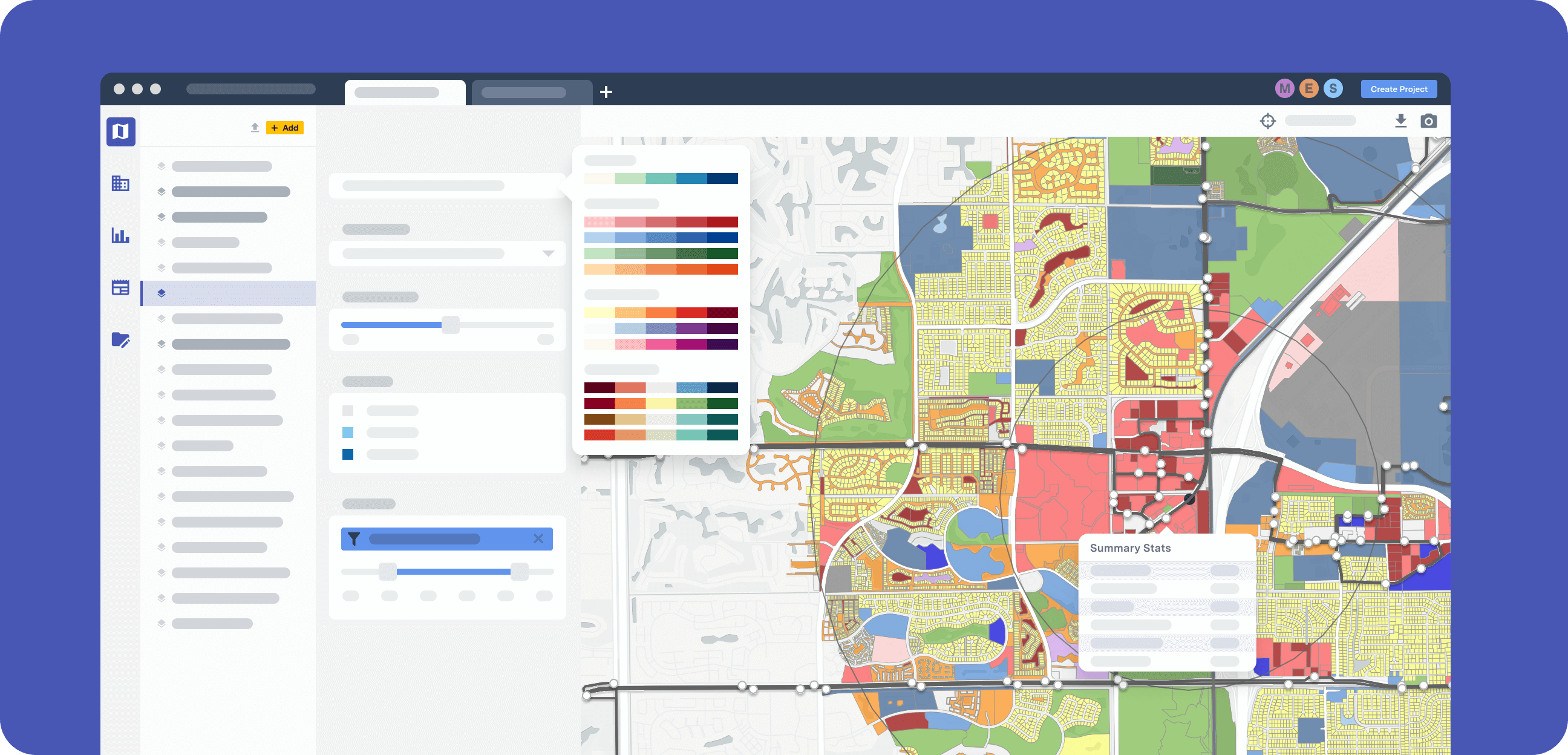
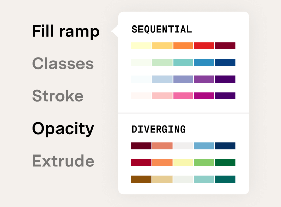
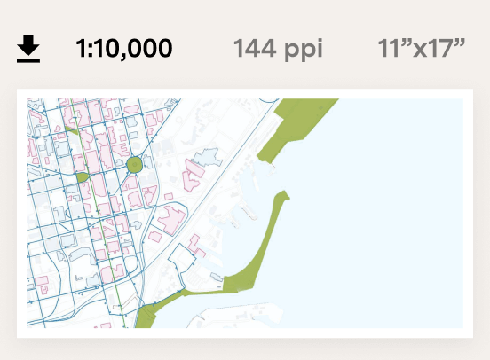
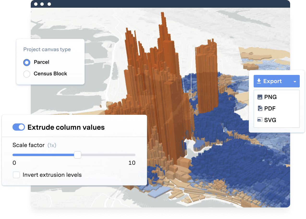
Build high-quality assessments with intuitive map design tools

Produce polished exhibits to clearly communicate key insights. Quickly create compelling maps for reports, presentations, and more.

Quickly move from fundamentals to advanced planning workflows

UrbanFootprint has the data and tools to match your planning process. Glean greater insights earlier, so you can dedicate more time and resources to scenario and analysis work.

Maximize efficiency and insights with built-in analytics

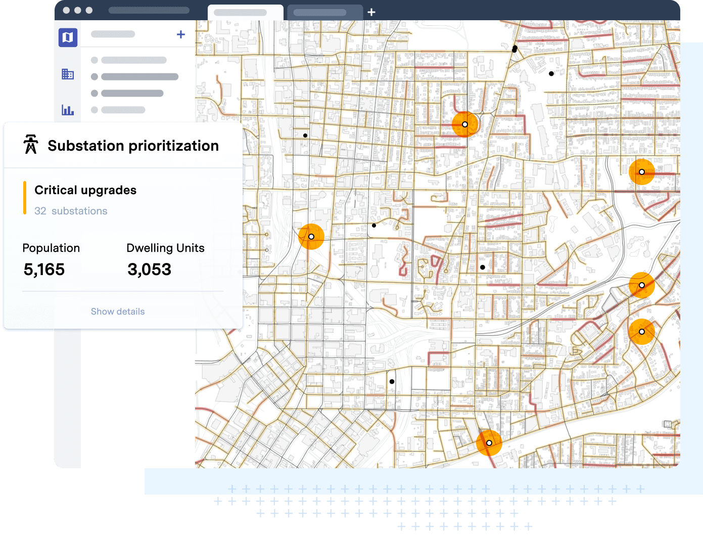
Quickly understand existing emissions, transit accessibility, and more with a suite of built-in Analysis Modules. No need to develop your own costly models.

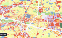
Map current land use and zoning at the parcel scale

Existing conditions assessments start with land use. More than 120 million parcels power the UrbanFootprint Base Canvas, the most comprehensive, nationwide land use database available.

Paired with extensive zoning data, you can produce detailed maps and answer key questions for your project area in minutes.

Transit

Roads

Bike & Pedestrian

  • Transit
  • Roads
  • Bike & Pedestrian

Visualize existing mobility networks

Effective maps for existing mobility networks are essential exhibits for any existing conditions report.

UrbanFootprint features a wealth of mobility-related data for quickly generating maps and analyzing relationships between land use, mobility, and other key planning datasets.

Image of open space and natural systems

Identify open space and natural features

For planners working to build sustainable communities, understanding existing open space and natural features is just as important as mapping the built environment.

UrbanFootprint’s Data Library provides all the datasets you need to quickly map parks, conservation areas, critical habitats, and more.

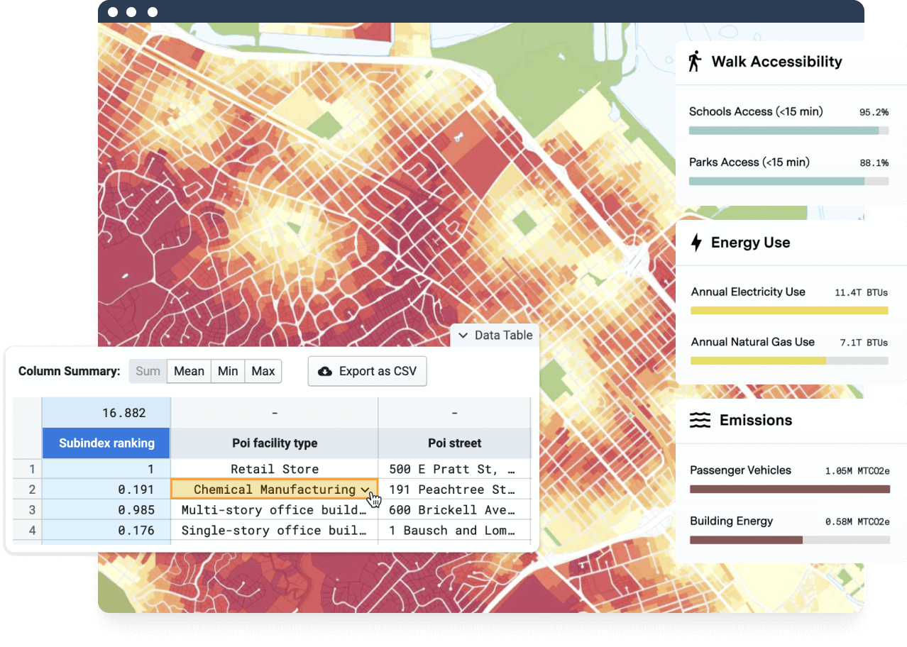
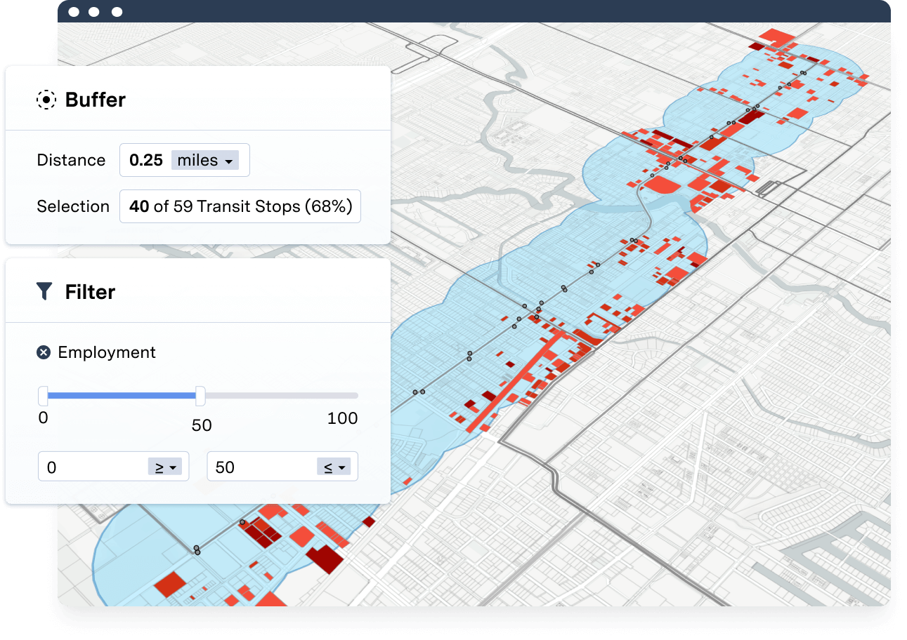
Measure walk and transit accessibility

UrbanFootprint’s advanced Analysis Modules make otherwise complex and costly analyses easy, replicable, iterative, and defensible.

Get detailed insights on key metrics like transit and walk accessibility from the start. Unlock analyses that were once cost prohibitive at the early stages of a project.

UrbanFootprint supports three key aspects of our work: streamlining the proposal development process, collecting and presenting data during the existing conditions phase of a project, and facilitating scenario planning to better understand impacts and benefits.

Matt Raimi, Raimi + Associates

Learn about more in-depth existing conditions analyses

Pinpoint Transit-Poor Zones with UrbanFootprint Parcel Data

Read blog

Parsing Parcel Data to Understand Properties, Parks, and Prices

Read blog

Map of opportunity zones in Minneapolis
How to Map Quick Opportunity Zone Insights

Read blog

See UrbanFootprint in action

Ready to learn more? Book a demo and discover how to get quick location insights with UrbanFootprint.

BOOK A DEMO

Or login now

    • Features
    • Base Canvas
    • Data Library
    • Scenario Planning
    • Analysis Modules
    • Mapping & Cartography
    • Use Cases
    • Response & Recovery
    • Proposals
    • Existing Conditions
    • Site Selection
    • Housing
    • Energy
    • Solutions
    • Planning & Design
    • Cities & Governments
    • Environmental Analysts
    • NGOs & Nonprofits
    • New Mobility
    • Academic
    • Real Estate
    • Resources
    • Case Studies
    • Blog
    • White Papers
    • Videos
    • Support
    • About
    • Meet the Team
    • Jobs
    • Pricing
    • Partners
    • In the News
    • Contact Us
  • Free Trial
  • LOGIN
  • BOOK A DEMO

©2021 All rights reserved.

  • Terms & Conditions
  • Privacy