Use case
Proposals
Design winning proposals in record time with the state-of-the-art urban planning capabilities of UrbanFootprint Analyst.
Sharpen your competitive edge
Run in-depth existing conditions reports for any U.S. location with our parcel-level, land use canvas, and extensive data library.
Reduce time and budget spent on proposals and job interviews with faster project assessments and effective maps that win!
Elevate your exhibits. Leverage best-in-class design tools and out-of-the-box data to craft beautiful maps with ease.
Detailed alternatives analyses are no longer cost-prohibitive. Build more competitive bids with advanced scenario modeling capabilities.
We find UrbanFootprint Analyst to be extremely helpful in the proposal process. With comprehensive data coverage, you can create insightful maps with very minimal effort. The client is always surprised to see that you have such detailed data before you even have a contract.
Alex Steinberger, Cascadia Partners
Building Blocks of Better Proposals
Get parcel-level insights for nearly any U.S. location in minutes. More than 120 million parcels power the most comprehensive, nationwide land use database available.
No need to invest in the costly process of sourcing, cleaning, and vetting datasets. Make maps in record time with thousands of ready-to-use datasets.
Set your proposals above the rest. Build and analyze plan alternatives with a suite of built-in analysis modules at your fingertips.
Everyone on the team can make great maps with intuitive mapmaking workflows. No GIS expertise required.
Leverage UrbanFootprint Analyst’s nationwide land use canvas and extensive data library to understand your project site from the start.
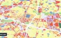
The Base Canvas in Analyst details existing conditions with over 70 land use attributes.
Easily map existing transit and circulation networks with Analyst’s curated, nationwide transportation layers.
Quickly identify and map constraints, like flood plains, protected environmental areas, historical landmarks, and more.
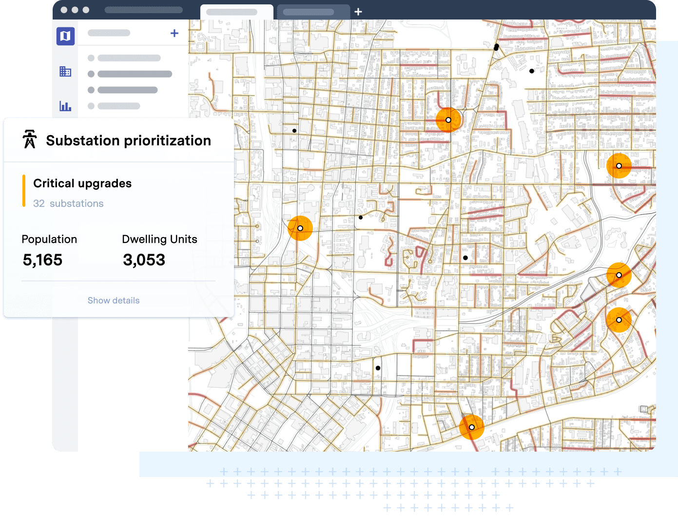
Innovate with insights that were once cost-prohibitive at the proposal stage. UrbanFootprint Analyst’s full suite of built-in analysis modules puts robust analytics at your fingertips.
Demonstrate current transportation trends and the power of iterative alternatives analysis.
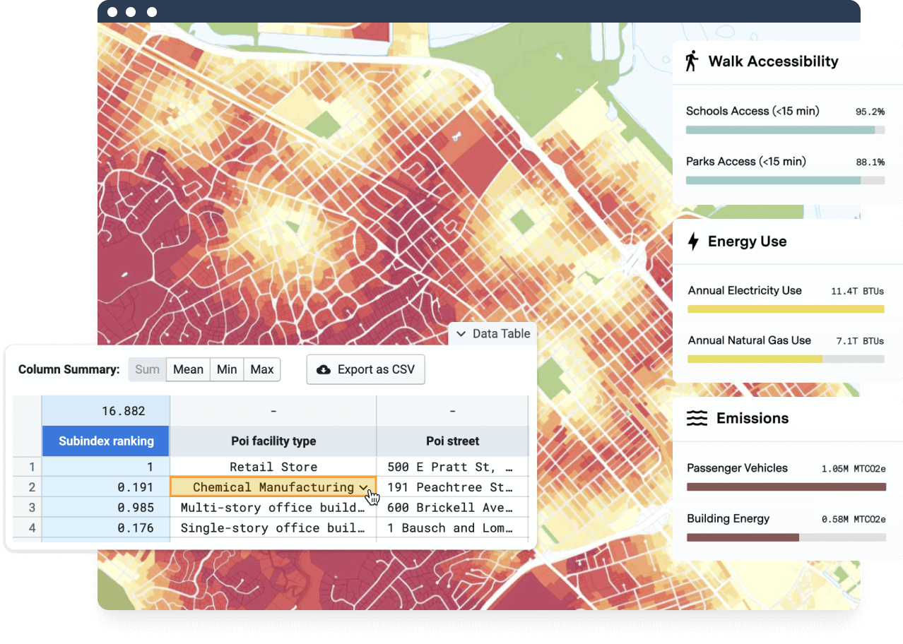
Analyze the composition of urban resource use and associated greenhouse gas emissions.
Map locations vulnerable to natural hazards and climate risk, including sea level rise, fire, and flood.
Deliver maps that stand out. Communicate your unique expertise and access to key datasets and advanced analytics.
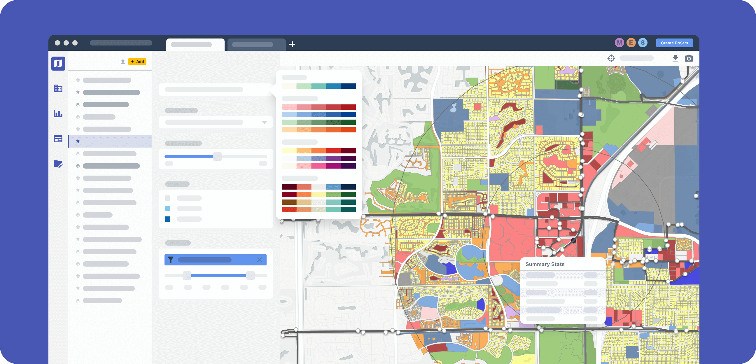
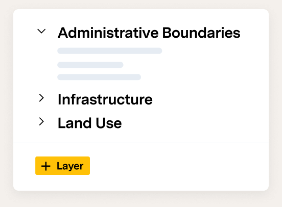
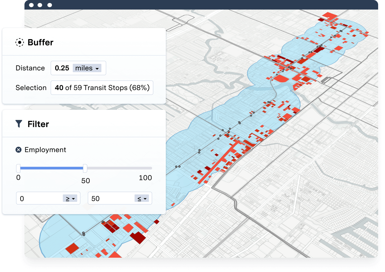
Add layers from the built-in data library and easily combine them to quickly generate maps tailored to every proposal.
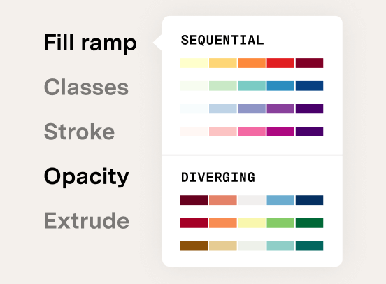
A complete suite of styling tools makes designing polished, proposal-ready maps a breeze.
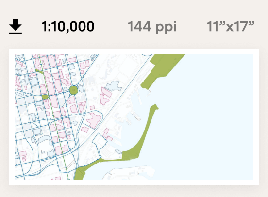
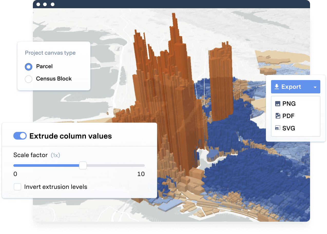
UrbanFootprint allows users to export maps for proposals and presentations with ease.
Learn how your fellow planners win more pursuits
How Raimi + Associates wins more business and delivers sustainable planning faster with UrbanFootprint
Discover why UrbanFootprint is a distinguishing factor in PlaceWorks’ job proposals and interviews
Discover how to get quick insights with UrbanFootprint data, mapping, and analytics.