Great news! Navigating the map in UrbanFootprint has become easier than ever with a new feature: map search.
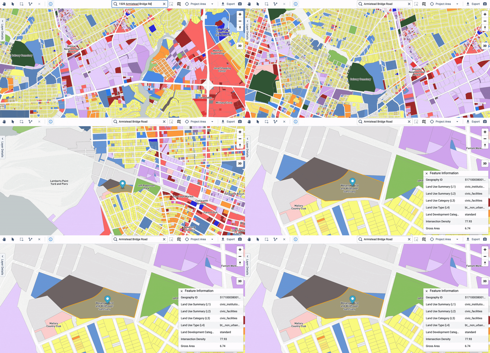
Application users can now quickly navigate to any location in a project area simply by typing in the search field above the map view. The built-in autosuggest function displays a drop-down list that updates as you type to include all matching locations—including cities, zip codes, neighborhoods, streets, addresses, and points of interest. Select a location from the list, and the map view will zoom to it and display a pin.

Used in conjunction with UrbanFootprint’s comprehensive parcel database, map search enables you to rapidly navigate to any parcel in the U.S. You can then select that parcel to learn more about it and save it as a map position, allowing you to return to that location easily for future analysis and mapping.
Go ahead and try it out in the UrbanFootprint application, or read our short how-to guide to learn more.
Have questions or feedback? Let us know. We’d love to hear from you.


