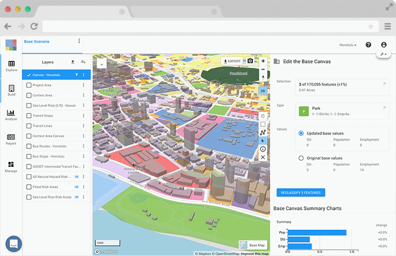
Today we’re releasing major product enhancements that significantly advance urban planning workflows in UrbanFootprint. These include a redesigned user interface for building scenarios and quickly viewing analysis results in context. In addition to design enhancements, we’re excited to introduce Base Canvas editing, a powerful new feature that allows you to update the existing conditions data for a project.
Read on to learn more about the benefits of these new capabilities and how to use them in UrbanFootprint.
Base Canvas Editing
It’s now as easy to update existing conditions data as it is to build scenarios.
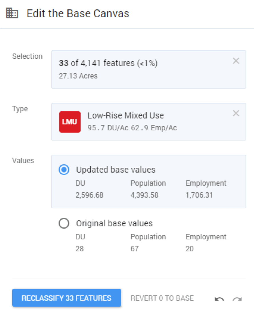
UrbanFootprint now allows users to vet and update the Base Canvas, UrbanFootprint’s parcel-based depiction of existing land use conditions. UrbanFootprint’s canvases already pull from the best collection of data sources available and go through rigorous quality control processes. However, there can be lags between data currency – or gaps in data quality – and real-world conditions.
No one knows local conditions better than those doing planning and design work on the ground. Base Canvas editing enables you to easily update UrbanFootprint’s land use canvas so that your projects reflect local knowledge and supplementary data sources. UrbanFootprint will recalculate and update project area totals and even make updates to existing scenarios to reflect changes to the existing land use Base Canvas.
Ready to learn more about how to use this new feature? Check out the support article for more details.
Painting Redesign
Iterative, intuitive scenario development.
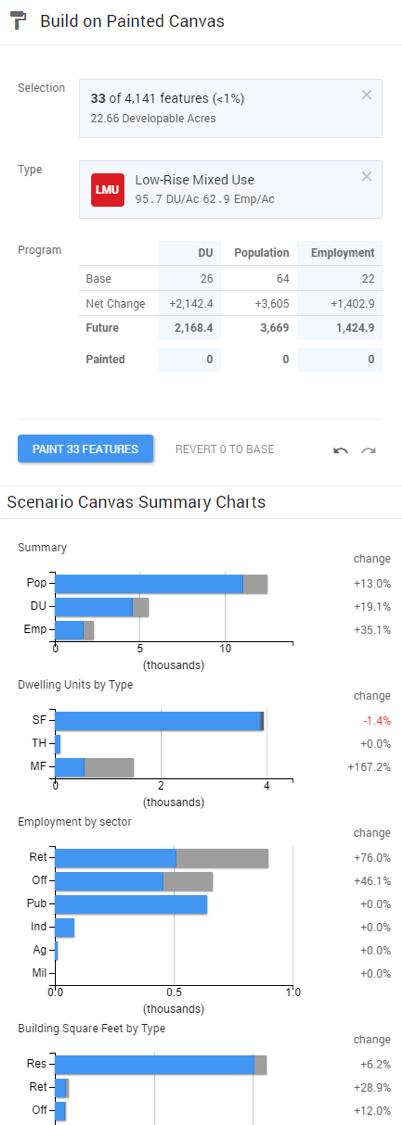
The new painting pane gives you the info you need to quickly and reliably build scenarios.
How big is the area you’ve selected for painting? The selection summary tells you how many developable acres you are proposing to develop or redevelop.
What intensity and type of development do you want to paint? The Types palette gives you ready access to all the Building and Place Types in your project’s library, along with summaries of their key attributes.
What impact will the proposed development program have? It’s easy to select different Types and preview the proposed changes in real time. This enables you to make informed decisions about your paints, making it easy to rapidly iterate on scenarios. The paint tracking charts help you hit growth targets and make sense of your development program project-wide.
Finally, the new revert to base feature enables you to paint worry free. Select any previously painted features on the map and revert them to the base condition. This is an exciting feature because it enables you to iteratively test different growth allocations in a scenario.
Ready to learn more about how to use this new feature? Check out the tutorial article for more details.
Analysis Redesign
Powerful analytics at your fingertips.
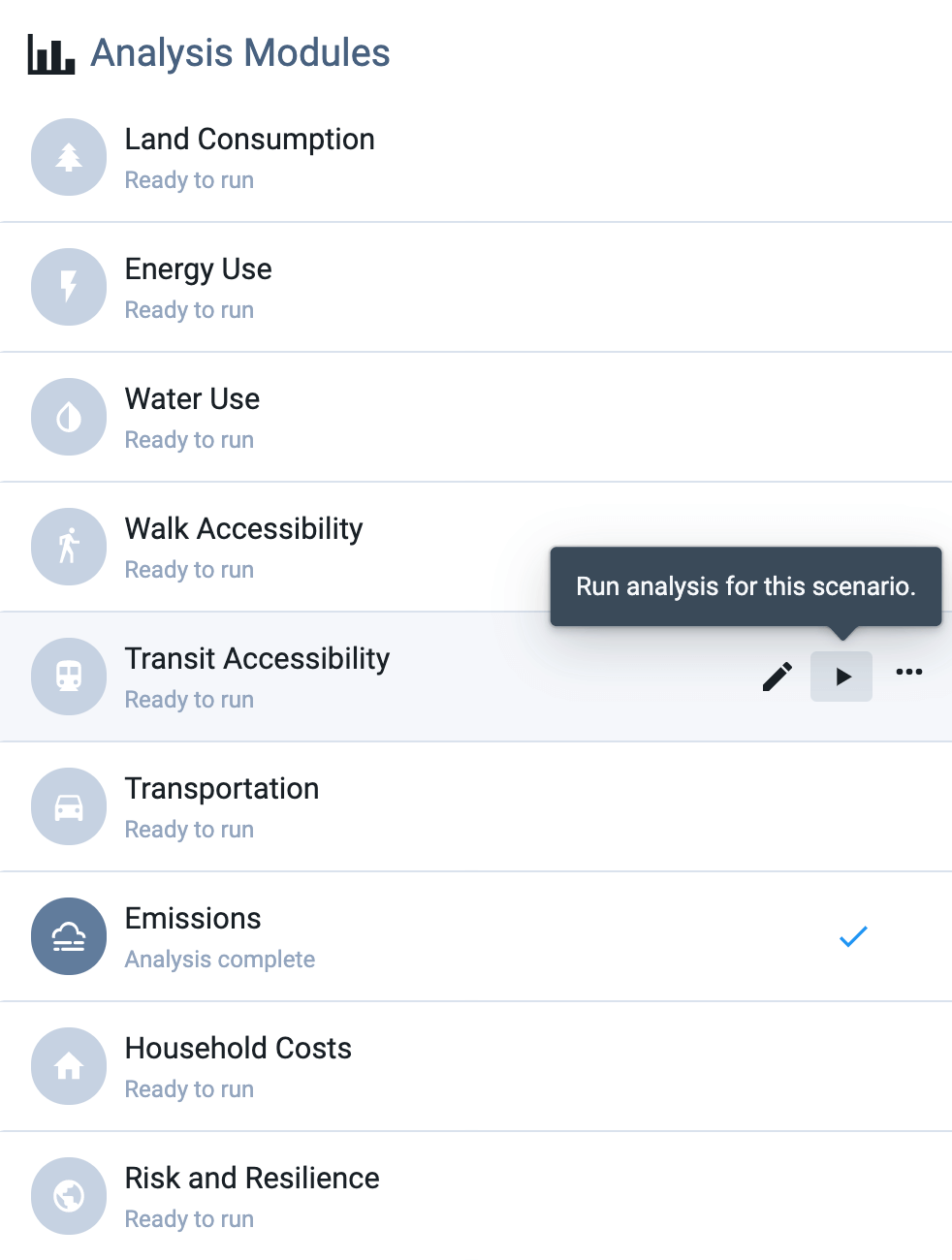
The new analysis pane puts robust, comparative analytics at your fingertips.
Want to quickly know how many acres of parkland are within a 15-minute walk for city residents? Just hit go and UrbanFootprint will generate maps and charts to answer your question.
Curious about how park access will change if you build a new park on that vacant lot? Paint a park, hit go, and compare current access to access with the new park.
Want to add an additional park to your scenario? Paint it, hit update, and get the most up-to-date analysis results for your scenario. The new analysis pane makes it simple to track which analysis module results are up-to-date with your ongoing scenario work.
You can also view charts of key metrics for each module right in the pane and open the relevant methodology document to review how results are generated.
Ready to learn more about how to use this new feature? Check out the support article for more details.
Try It Out
We hope you’re excited by these major enhancements to UrbanFootprint. Ready to try it out for yourself? Book a demo or create your free UrbanFootprint account today to get started!
Have other ideas for improvements we can make? We’d love to hear them! Send us an email with your thoughts.
