Rapidly evolving climate, community, and market dynamics make prioritizing critical investments more complex and urgent than ever. UrbanFootprint Resilience Insights deliver the critical data and tooling needed to inform energy grid investments, EV deployment, regulatory compliance, and sustainability initiatives.


Curated data insights, delivered through powerful software, intersect previously-siloed data to drive more effective risk assessment and resource prioritization, and meet evolving regulatory and compliance requirements
1000s of data sources, metrics, and risk models organized, aligned, and assembled for analysis of any US location
Data insights and analysis are delivered via cutting-edge software and data feeds

To build the grid of tomorrow requires reexamining how we prioritize, upgrade, and deploy distributed assets. Leverage a complete community and service territory view when making critical service-related investments. Build intelligence and never wonder:
Where will upgrading aging assets have greatest community impact?
Where will deploying DERs maximize grid support and supplemental service delivery?
Where are critical assets most at risk and require timely hardening?


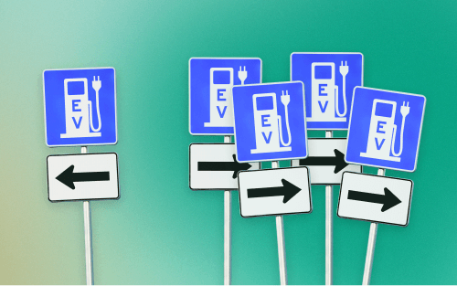
The mobility energy transition must be done right, which requires intersecting data and multiple stakeholder alignment. Optimize where to expand EV infrastructure to meet community need and use patters. Build intelligence and never wonder:
Where to fill EV charging deserts and accessibility gaps?
Where can micromobility docs complete last mile transit plans?
Where will public fleet decarbonization have the largest city and county impact?
Critical infrastructure services are not equally accessible. Infrastructure updates and expansions are an opportunity to better and more fully provide necessary services. Build intelligence and never wonder:
Where to improve public transportation access and mobility services in transit deserts?
Where to deploy state and federal funding projects to meet regulatory mandates?
Where to locate critical resources for best accessibility?

Learn how UrbanFootprint can help you build resilience and make better decisions.