UrbanFootprint
Login
Request Demo
  • Solutions
        • Resilience Insights

          Power decision making with curated data and models assembled and intersected to surface insight

        • INSIGHT TYPES

        • Infrastructure & MobilityPhysical infrastructure, modernization, and the transition to electric vehicles
        • Public Service & AdministrationCommunity assistance, resource distribution, and program management
        • –

        • Climate Risk & SustainabilityClimate change, exposure to hazards, and impact analysis
        • Capital Markets & ESGInvestment evaluation, portfolio management, and ESG compliance
  • Technology
        • Our Technology

          The UrbanFootprint platform curates components of our Data Foundations to build Resilience Insights and deliver them through one or more Data Experience

        • DATA FOUNDATIONS

        • Built EnvironmentLand use, buildings, transportation, and infrastructure detail
        • People & VulnerabilitiesCommunity and household characteristics with modeled need
        • Climate & HazardsCurrent and future hazard risks plus land and assets impacted
        • DATA EXPERIENCES

        • AnalystCloud-based GIS mapping and analytics application
        • ExplorerCloud-based map visualization and dashboard application
        • Direct DataFlexible data integration and feeds to customer systems
  • Resources
        • RESOURCE TYPE

        • Case Studies
        • Solution Overviews, eBooks, and Whitepapers
        • LEARN MORE

        • Community Resilience
        • Climate Resilience
        • ESG
        • Social Equity
        • TECHNICAL SUPPORT

        • Product Documentation
        • Contact Us
  • Blog
        • Existing Conditions Assessments Key
          Power Your Next Project with the UrbanFootprint Existing Conditions Dashboard
          Existing Conditions Dashboard Charts Key Image
          Launch Faster with UrbanFootprint’s New Existing Conditions Dashboard
          Eaton Fire Area And Special Wind Regions In Southern California
          Spotlight on Wildfire Risk – How Wind, Weather, and Wildland Development are Fueling Extreme Events
          Sample view of updated transit data in San Francisco
          Fresh Data from UrbanFootprint
          Commercial Property Impacts in Altadena
          Impacts of the LA Fires: Setting the Context for Recovery
          SB6-SanJose@1200w
          Unlock the Powers of Unified Parcel Data with UrbanFootprint
        • View all blog posts
  • About
        • AboutLearn about our story and our mission statement.
        • Learn more

        • LeadershipMeet the faces behind the UrbanFootprint team.
        • Learn more

        • In the NewsNews and writings, press releases, and resources.
        • Learn more

        • CareersWe’re always looking for talented people. Join us!
        • Learn more

  • Login
    • Analyst  ↗
    • Explorer ↗
  • Contact Us

Use case

Site selection for business & real estate

Select your next office location or development site with confidence. UrbanFootprint Analyst unlocks a trove of nationwide site-suitability data.

OPTIMIZE SITE SELECTION FROM START TO FINISH

Evaluate potential development sites with ease

Leverage our one-of-a-kind land use database, extensive data library, and advanced analytics to identify sites that meet your project criteria.

Build higher quality assessments with replicable workflows

Analyst has the tools to match your site selection workflow. Produce polished maps and reports—no GIS experience required.

Streamline the project approval and entitlement process

Get the preliminary data you need to set your project up for success, including land use, zoning, and more.

Clearly communicate to community stakeholders

Support transparent discussion and reduce project timelines with the ability to analyze and present potential project impacts and benefits.

Example maps of land use, zoning, building date

One-stop data shop for site exploration

Save time and money by leveraging UrbanFootprint Analyst’s extensive data library and powerful query tools

Underpin location decisions with high-resolution land use and property data

Analyst’s parcel-level land use database includes detailed information about population, residential by type, employment by sector characteristics, and more. Parcel data also includes property improvement and land value, year built, building area, and address.

Understand site context out-of-the-box

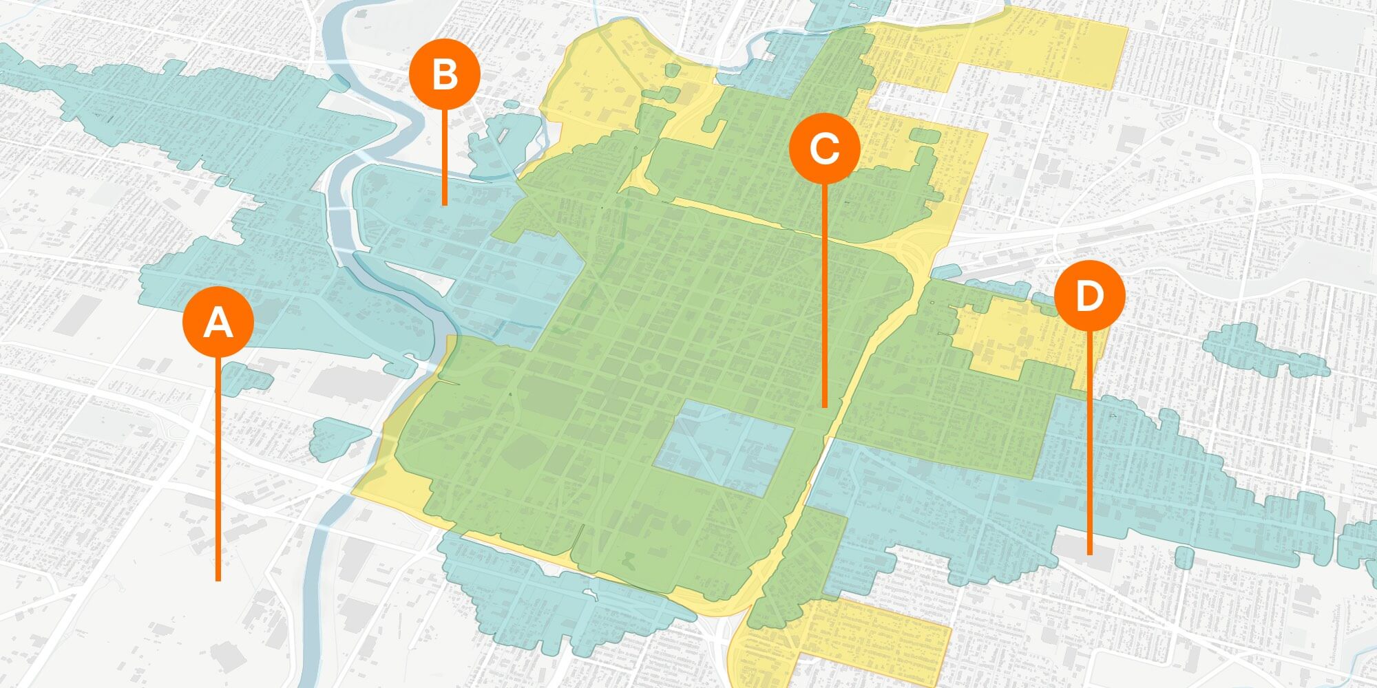
Use powerful spatial query tools to analyze location choices from all angles. Draw from an extensive library to understand site context through demographics, proximity to infrastructure, transit accessibility, and more.

Overlapping maps showing walk access and transit access

Build a foundation for success with advanced location analytics

Pinpoint the best possible location for your project according to an array of critical considerations.

Test your development plans

Take site assessment to the next level with scenarios. Test different locations and development programs. Compare the modeled outcomes associated with each scenario to evaluate site suitability for your project criteria.

Measure walk and transit access

Understand your site in its broader context. The accessibility models measure travel times to jobs and residential population, as well as to schools, parks, hospitals, and more.

Map showing development constraints due to distance from wetland locations

Streamline project approval and the entitlement process

Present your site selection plan with confidence.

Ensure compliance

The Data Library in Analyst has an extensive collection of environmental and development constraint layers. This makes it easy to highlight areas of critical environmental concern, including essential habitat connectivity areas, wetlands, parks and open space, and more.

Assess performance of key community goals & planning metrics

Estimate the impacts of development across multiple dimensions, including detailed metrics for water and energy use, transportation, emissions, and more. Produce presentation-ready maps and reports to support community engagement and facilitate a smoother entitlement process.

Case study

How to choose your next office location

Learn how UrbanFootprint Analyst can help you find the best location for your company campus. Optimize your next location to be cost-effective, attractive to top talent, and supportive of sustainable, long-term growth.

Read the blog →

Site Selection for Business: How to Choose Your Next Office Location

by Joe DiStefano & Brock Hicks

Upgrade your site selection strategy with UrbanFootprint

CONTACT US

Or login now

Tweet
Share
Share

Never wonder where

UrbanFootprint logo
Contact Us

    • SOLUTIONS
    • Climate Risk & Sustainability
    • Infrastructure & Mobility
    • Public Service & Administration
    • Capital Markets & ESG
    • FOUNDATIONS
    • Built Environment
    • People & Vulnerabilities
    • Climate & Hazards
    • EXPERIENCES
    • Analyst
    • Explorer
    • Direct Data Delivery
    • RESOURCES
    • Case Studies
    • ESG
    • Community Resilience
    • Climate Resilience
    • Technical Support
    • ABOUT
    • Careers
    • Leadership
    • In the News
    • Contact Us

©2025 All rights reserved.

  • Terms & Conditions
  • Privacy Policy