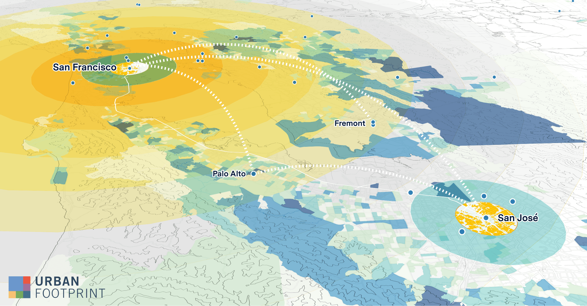
We’re thrilled to announce that UrbanFootprint has been chosen as a key software partner to support NASA’s new Urban Air Mobility (UAM) initiative. Through this program, NASA will provide early adopters of UAM technology with a safe, efficient, and flexible system to operate air vehicles for moving passengers and cargo within metropolitan areas. UrbanFootprint is part of a team being led by The Innovation Laboratory, Inc., which will work with the NASA Aeronautics Research Mission Directorate to support airspace operations and safety by developing a comprehensive industry-standard 3D Urban Airspace Map.
Urban Air Mobility has the potential to revolutionize urban transportation. It can play a role in freight and delivery, passenger transportation, and emergency response. Planning and deployment of UAM requires a comprehensive understanding of the groundscape and how air space interacts with the complex nature of urban environments.
Ultimately, NASA’s plan is to develop the 3D Urban Airspace Map with a network of vertiports and airspace traffic layers, which could integrate with the urban and environmental data and analytical capabilities of the UrbanFootprint platform. We’re honored for this opportunity to elevate our mapping and analytics technology to a whole new category of planning, and to be part of an exciting new development in mobility.
Have a question or want to learn more? Get in touch with our team.


