Login
Request Demo
  • Features
    • Base Canvas
    • Data Library
    • Scenario Planning
    • Analysis Modules
    • Mapping & Cartography
  • Solutions
        • Industries
        • Planning & Design
        • Cities & Governments
        • Environmental Analysts
        • NGOs & Nonprofits
        • New Mobility
        • Academic
        • Real Estate
        • See all
        • Use Cases
        • Proposals
        • Existing Conditions
          • Housing
        • Site Selection
        • Response & Recovery
          • Energy
  • Pricing
  • About
    • Meet the Team
    • Jobs
    • Partners
    • Contact Us
    • In the News
  • Resources
    • Case Studies
    • White Papers
    • Videos
    • Technical Support
    • Blog
  • Blog
  • Login
  • Book a Demo

FIND SIGNAL THROUGH NOISE

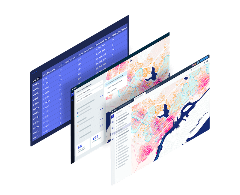
The World’s First Urban Intelligence Platform

Assess risk, understand markets, and make better decisions with the most powerful and comprehensive urban, climate, and community resilience data platform available anywhere.

BOOK A DEMO

FIND SIGNAL THROUGH NOISE

The World’s First Urban Intelligence Platform

Assess risk, understand markets, and make better decisions with the most powerful and comprehensive urban, climate, and community resilience data platform available anywhere.

BOOK A DEMO

Trusted by industry leaders

WSP

HDR

URBAN PLANNING →

PGE

DNVGL

ENERGY & UTILITIES →

San Diego

Cal OES

GOVERNMENT AGENCIES →

UC Berkeley

University of Michigan

UNIVERSITIES →

WSP

HDR

URBAN PLANNING →

San Diego

Cal OES

GOVERNMENT AGENCIES →

PGE

DNVGL

ENERGY & UTILITIES →

UC Berkeley

University of Michigan

UNIVERSITIES →

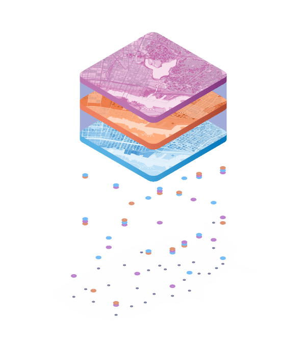
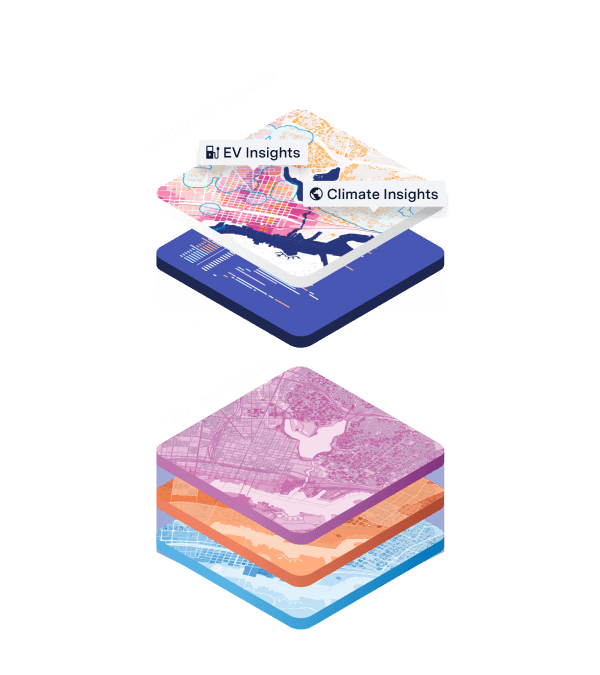
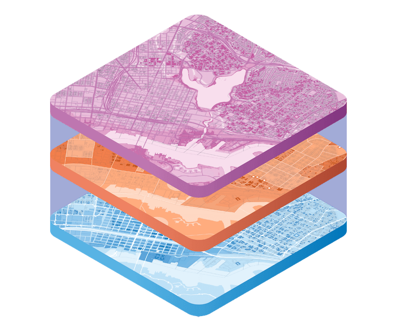
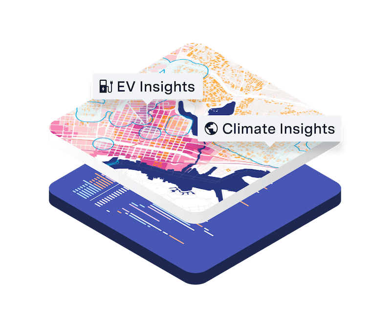
Nationwide data, sector-specific insights

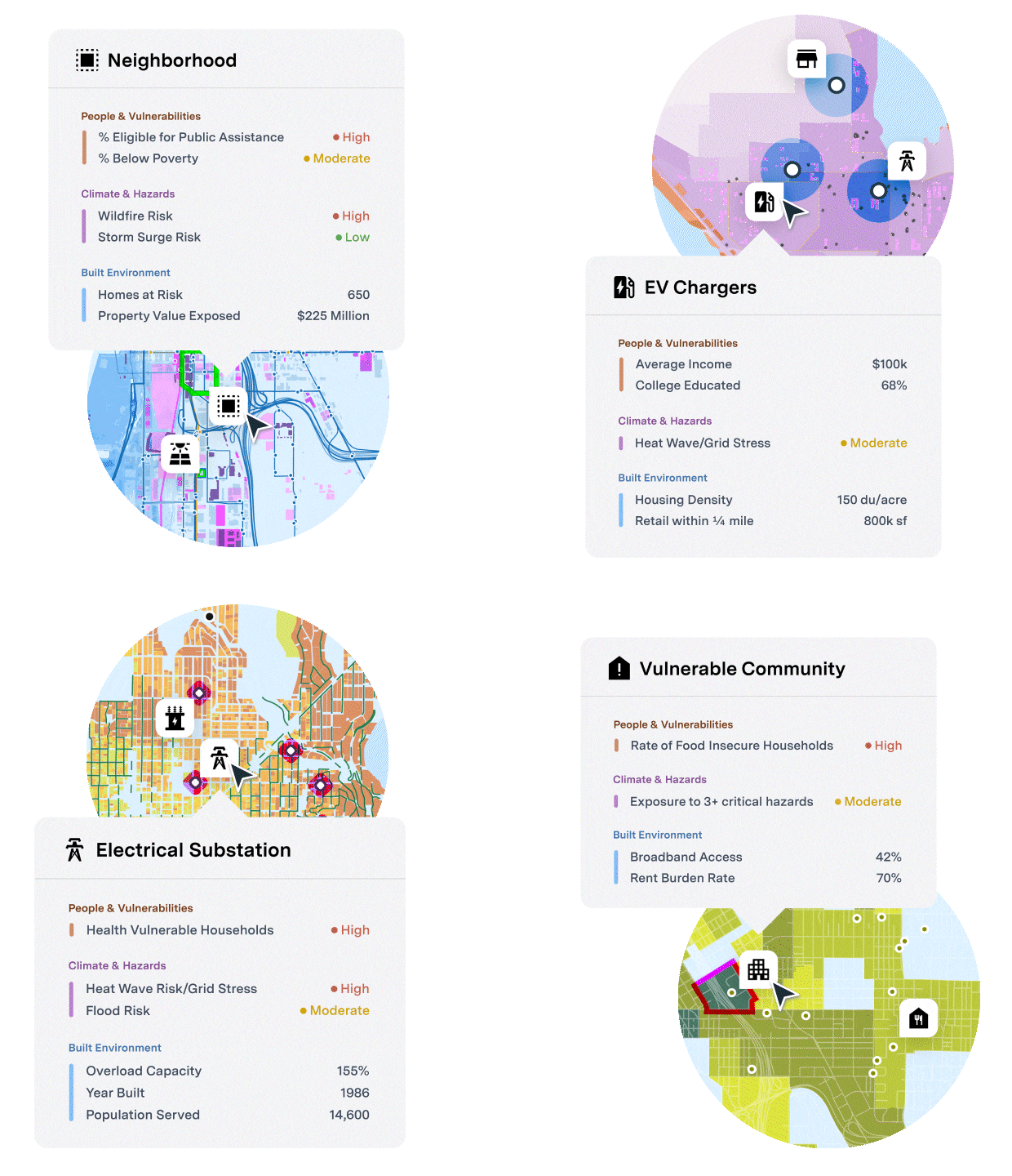
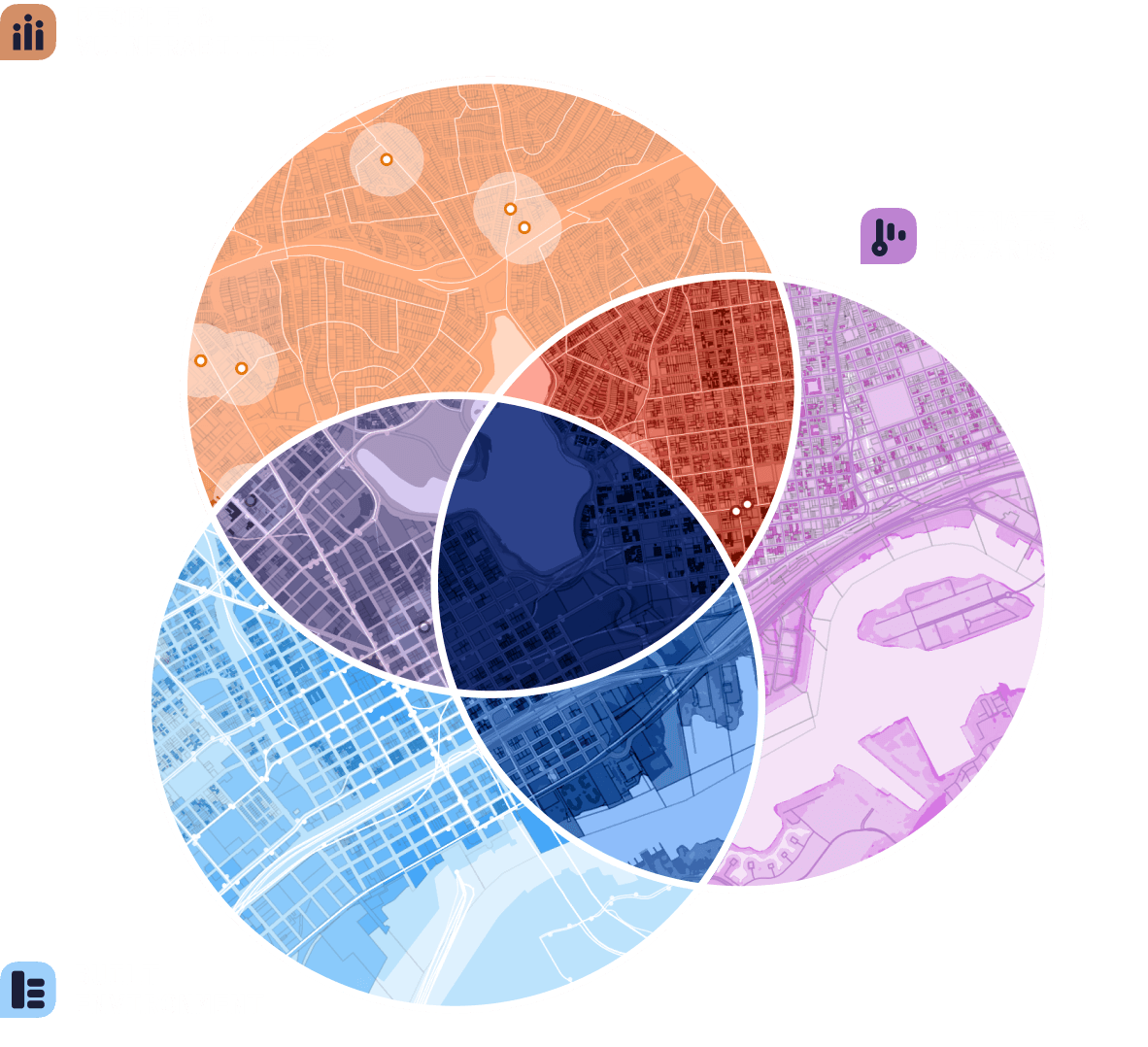
Answer critical questions at the intersection of urban transformation, climate change, social equity, and community resilience.

Built & Natural Environment

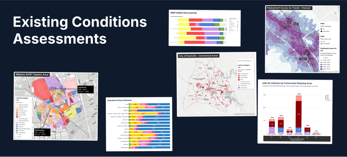
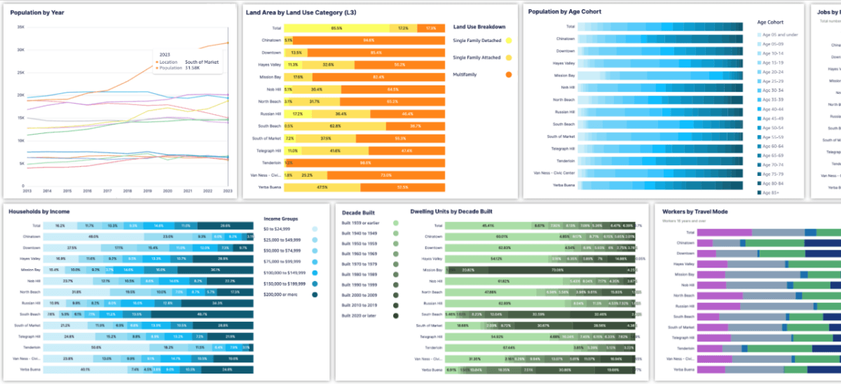
Assess existing conditions and land use down to the parcel level with granular urban, environmental, and mobility data.

Community Resilience

Analyze and intersect vulnerabilities, impacts, and policy interventions at the state, city, and neighborhood level.

Climate & Hazard Risk

Evaluate the impacts of climate change and natural hazards on communities, resources, and infrastructure.

Flexible delivery

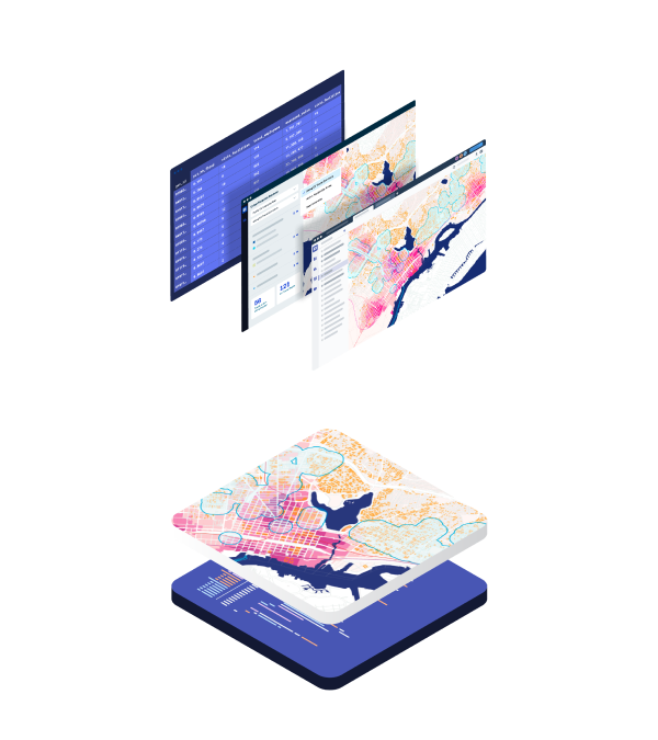
Get UrbanFootprint data insights through various access points

Mapping & Analytics Platform

Data Insights Subscriptions

Insights Dashboards

Mapping & Analytics Platform

Data Insights Subscriptions

Insights Dashboards

PLAN • INVEST • ADAPT

Cut through the noise.

Get the insights you need to take action.

Plan better.

Design the future with the next generation of urban and mobility planning using granular parcel, transport, and environmental data.

Build better communities & neighborhood plans

Urban Planning →

Advance mobility strategies & promote accessibility

Mobility →

Invest better.

Drive ESG reporting with effective, meaningful, data‑driven assessments of social and environmental impacts.

Assess natural hazard risk to optimize site selection

Housing & Real Estate →

Measure economic risk of bonds, projects, and assets

Finance →

Adapt better.

Build more resilient and equitable communities with targeted climate, hazard, urban, and community vulnerability data.

Strengthen infrastructure & prioritize grid investments

Energy & Utilities →

Recover stronger from public health & natural hazard events

Disaster Response & Recovery →

Plan better.

Design the future with the next generation of urban and mobility planning using granular parcel, transport, and environmental data.

Build better communities & neighborhood plans

Urban Planning →

Advance mobility strategies & promote accessibility

Mobility →

Invest better.

Drive ESG reporting with effective, meaningful, data‑driven assessments of social and environmental impacts.

Assess natural hazard risk to optimize site selection

Housing & Real Estate →

Measure economic risk of bonds, projects, and assets

Finance →

Adapt better.

Build more resilient and equitable communities with targeted climate, hazard, urban, and community vulnerability data.

Strengthen infrastructure & prioritize grid investments

Energy & Utilities →

Recover stronger from public health & natural hazard events

Disaster Recovery & Response →

Check out our latest blog posts

See all →

Homeowners on the Edge: Is America on the Brink of a Foreclosure Crisis?

Map Environmental Justice Compliance with UrbanFootprint

Where Are the Next COVID-19 Hot Spots?

What does it take to turn a single family home into a fourplex?

See UrbanFootprint in action

Ready to learn more? Book a demo and discover how to get quick insights with UrbanFootprint data, mapping, and analytics.

BOOK A DEMO

Explore pricing →

Read about the work we’re doingwe’re doing

    • Features
    • Base Canvas
    • Data Library
    • Scenario Planning
    • Analysis Modules
    • Mapping & Cartography
    • Use Cases
    • Response & Recovery
    • Proposals
    • Existing Conditions
    • Site Selection
    • Housing
    • Energy
    • Solutions
    • Planning & Design
    • Cities & Governments
    • Environmental Analysts
    • NGOs & Nonprofits
    • New Mobility
    • Academic
    • Real Estate
    • Resources
    • Case Studies
    • Blog
    • White Papers
    • Videos
    • Support
    • About
    • Meet the Team
    • Jobs
    • Pricing
    • Partners
    • In the News
    • Contact Us
  • Free Trial
  • LOGIN
  • BOOK A DEMO

©2021 All rights reserved.

  • Terms & Conditions
  • Privacy