Use case
Location Analytics for business & real estate
Evaluate and select new sites with confidence. Analyze your portfolios to mitigate risk and prioritize growth opportunities.
THE BEST DATA AVAILABLE FOR LOCATION ANALYTICS – FROM START TO FINISH
Understand the surrounding community. Analyze current and future locations by factors such as demographics, labor availability, and vulnerability.
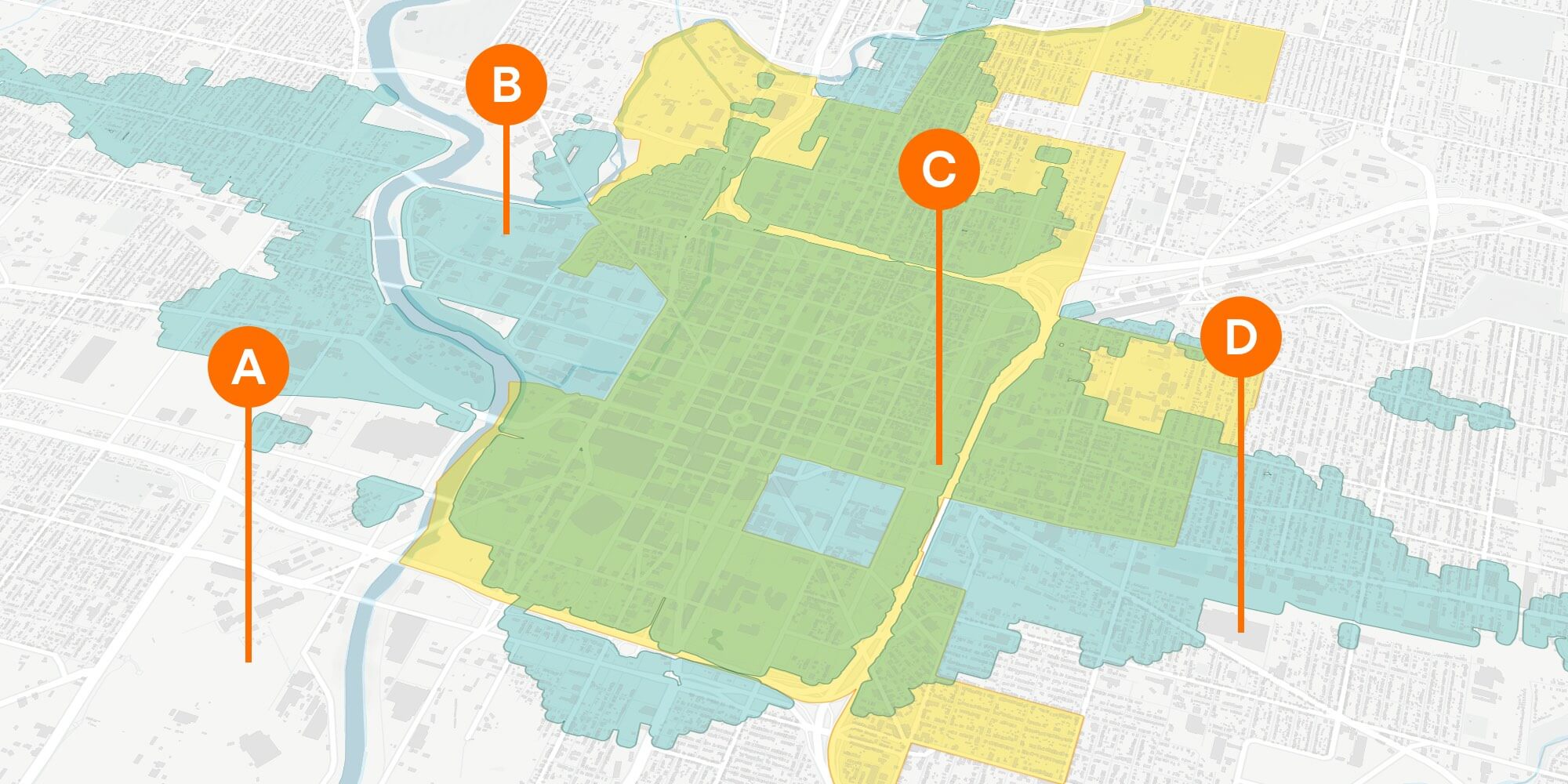
Evaluate locations based on their accessibility. Calculate transportation time and cost. Visualize the proximity of sites to competitors and community assets.
Analyze sites across a range of current and historical datasets, including zoning, property value, property tax, and market & assessed improvement value
Evaluate risk, water usage, emissions, and sensitive land uses to understand and minimize environmental impacts.
Gain a clear picture of where economic incentives exist that might influence location decisions.

Save time and money by leveraging UrbanFootprint’s extensive data library and powerful application
Leverage a parcel-level land use database that includes detailed information about population, residential type, employment by sector characteristics, and more. Parcel data also includes current and historical property improvement and land value, year built, building area, and address.
Use powerful spatial query tools to analyze location choices from all angles. Draw from an extensive library to understand site context through demographics, proximity to infrastructure, transit accessibility, and more.

Pinpoint the best possible location for your project according to an array of critical considerations.
Take site assessment to the next level with scenarios. Test different locations and development programs. Compare the modeled outcomes associated with each scenario to evaluate site suitability for your project criteria.
Analyze your current portfolio in a broader context to understand and mitigate risk. Target sites that are most likely to help you hit ROI and growth targets.
Present your site selection plan with confidence.
Use an extensive collection of environmental and development constraint layers to highlight areas of critical environmental concern, including essential habitat connectivity areas, wetlands, parks and open space, and more.
Estimate the impacts of development across multiple dimensions, including detailed metrics for water and energy use, transportation, emissions, and more. Produce presentation-ready maps and reports to support community engagement and facilitate a smoother entitlement process.
Case Study
Learn how UrbanFootprint’s Location Analytics solution can help you find the best locations for your company. Optimize your next location to be cost-effective, attractive to top talent, and supportive of sustainable, long-term growth.